
Cloud cover this morning will clear out late morning and early afternoon as the departing storm system makes its exit and high pressure builds in.
As our skies clear through the day, afternoon highs will remain near to slightly below seasonal averages — a drastic change from the record warmth we’ve seen much of the month.
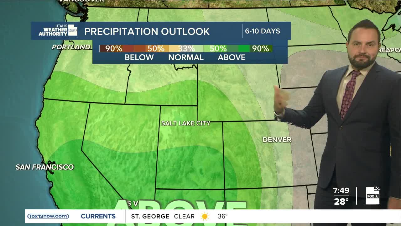
High pressure will remain in control to start the week, keeping conditions dry across Utah. Temperatures dip closer to normal early in the week, then gradually warm back to above-average levels by midweek. Valley inversions may limit warming in some locations, but overall highs will still trend above seasonal averages.
Looking ahead to Thursday and beyond, there’s growing potential for a more active weather pattern to return. A storm system currently off the California coast is expected to move inland and bring increasing valley rain and mountain snow late in the week.
Timing and overall moisture amounts are still up in the air this far out, but at least the confidence in unsettled weather to ring in the new year is growing. Stay tuned!
