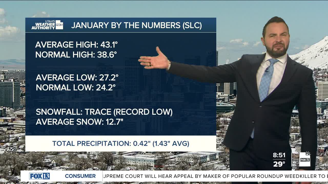
It's been a calm start to the weekend with less fog early this morning than the previous few. Better ventilation over the last few days of our air has helped clear out some of the moisture and the colder air. High pressure will remain in place over the weekend, and conditions will continue to improve, allowing temperatures to climb into the upper 40s and low 50s across many Utah valleys, with lower Washington County warming into the mid-60s. Fog is less likely to form Sunday morning along the Wasatch Front; however, there could be some isolated areas of fog near Great Salt Lake.

High pressure is becoming more dominant over the state today. This setup will allow valley inversions to gradually re-establish across northern Utah. A weak system brushing northern Utah on Monday may bring just enough cool air to limit inversion strength, but we're expecting conditions to remain dry. By the middle of the week, high pressure rebuilds across the Great Basin. Warmer air aloft combined with light winds will once again favor stronger inversions, with haze likely spreading across northern valleys. Areas outside of those inversion-prone valleys will continue to see above-average temperatures, feeling more like early to mid-March through much of next week.

Forecast models continue to point toward dry weather holding firm until at least February 9th or 10th. Until then, enjoy the mild afternoons...and keep an eye on the valleys, where winter inversion likes to linger a little longer than it’s invited.


