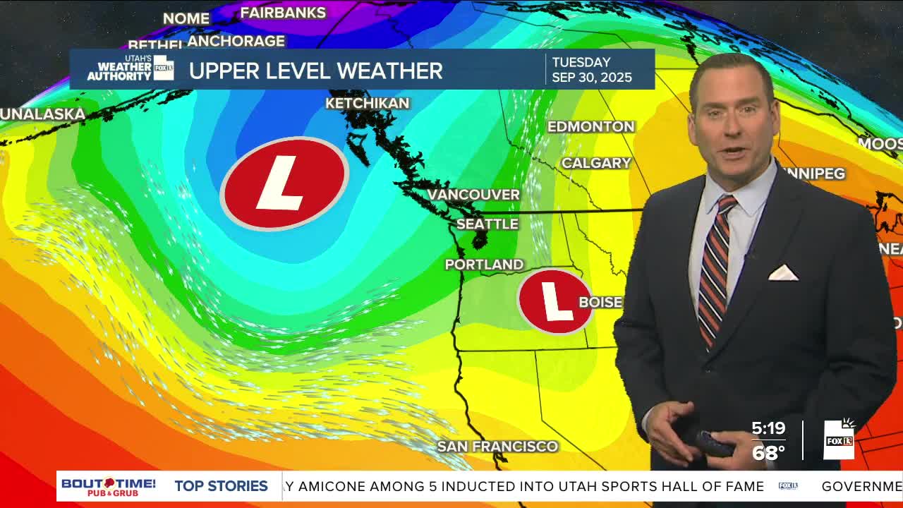


Some stormy weather for the last day of September!
A storm and associated cold front will bring widespread showers & t-storms, mainly to Northern & Central Utah today. Wet weather is most likely from late morning through the afternoon. Showers & t-storms are possible across the south but will be fairly spotty.
Cool air moving in behind the front will keep temps in the low to mid 60s along the Wasatch Front during the afternoon. So in addition to an umbrella, you might need a jacket! Most of the showers will taper off this evening.
High pressure building over Utah will bring warmer, dry weather through mid-week, then another storm moves in this weekend.
SALT LAKE CITY
Tuesday: Mostly cloudy & cooler. Showers & t-storms most likely from late morning through the afternoon. Highs: Near 70 in the morning (then in the low to mid 60s for much of the day).
Tuesday Night: Showers & t-storms decrease in the evening. Partly cloudy & cooler overnight. Lows: Mid 50s.
ST. GEORGE
Tuesday: Partly cloudy with a 30% chance of showers & t-storms, most likely in the afternoon. Highs: Mid 80s.
Tuesday Night: Mostly clear. Lows: Near 60.
