

A mix of sun and clouds for Saturday with strong southerly flow in place. Temperatures will remain above average statewide with mid 90s for much of northern Utah, upper 90s and triple-digit heat down south. A high of 104 is expected in St. George with a chance for isolated thundershowers.

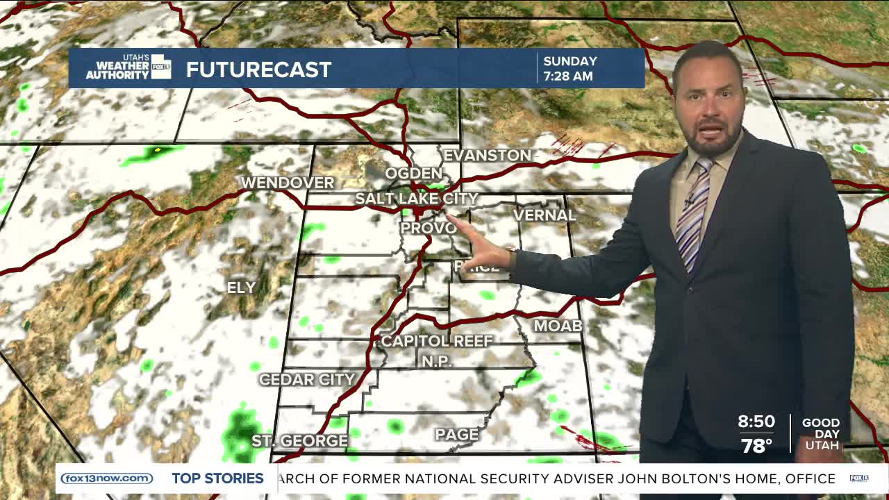
Showers will increase statewide Sunday as a surge of moisture rotates around the ridge over the Four-Corners region. The increasing moisture will bring some relief to the high heat we've seen over the past week.

Cooler temperatures and more active weather will persist throughout the workweek, as monsoonal moisture continues to move through.

Flash flooding will be a concern over southern Utah for much of next week as well. 'Probable' flash flood potential is forecast for all recreational areas beginning Sunday, meaning dangerous flash flooding is expected to occur in some low-lying areas and slot canyons.
