

It's going to be hot & dry again today! That combined with breezy winds that could gust above 30 mph, means fire danger will remain high across SW & Central Utah through Wednesday evening.
Thick smoke will still linger across Central Utah but a little shift in wind direction will likely allow smoke across SE parts of the state to decrease compared to yesterday.
Just enough moisture is in place to fuel isolated t-storms over the eastern mountains this afternoon. Gusty winds will be more likely than much if any rain.
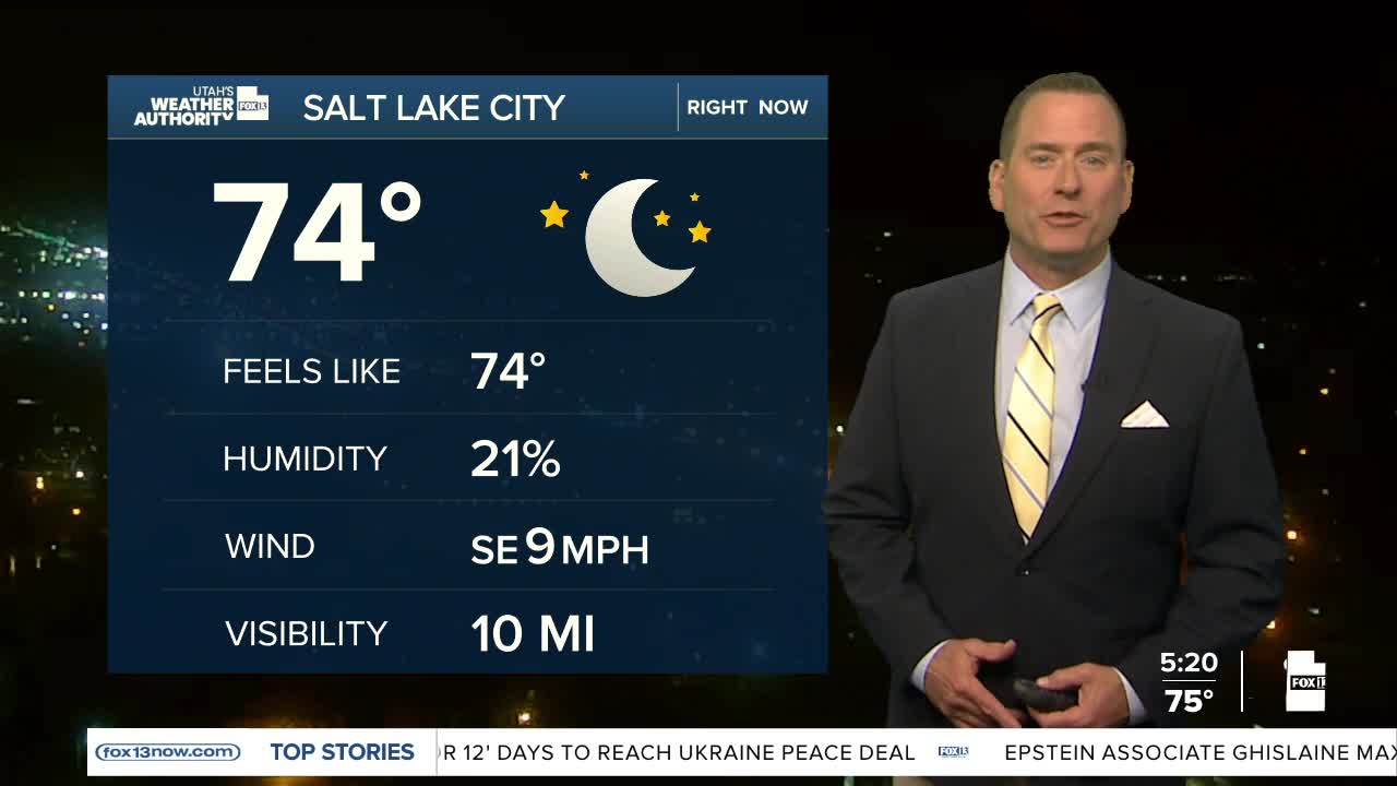
SALT LAKE CITY
Tuesday: Mostly sunny. Highs: Upper 90s.
Tuesday Night: Mostly clear. Lows: Near 70.
ST. GEORGE
Tuesday: Sunny & very hot. Highs: Near 104.
Tuesday Night: Mostly clear. Lows: Lower 70s.
