

A storm moving in later today & tonight will bring mainly light snow to the valleys & mountains. Rain will mix with snow at times in the valleys during the day, but then change back to snow as showers intensify a bit later tonight & tomorrow morning.
Any accumulation will be light, however this storm could bring the first measurable snowfall to some of the valleys. A trace to half inch is possible in the northern valleys with 2-4 inches most likely in the mountains. There could be closer to 6 inches in the Cottonwoods, but overall the storm will be as big of a snow-maker as the one that moved through Sunday.
With cold temps overnight, even light snow could make for slick & icy roads during the Wednesday morning commute.
After a break Thursday, more storms move through this weekend.
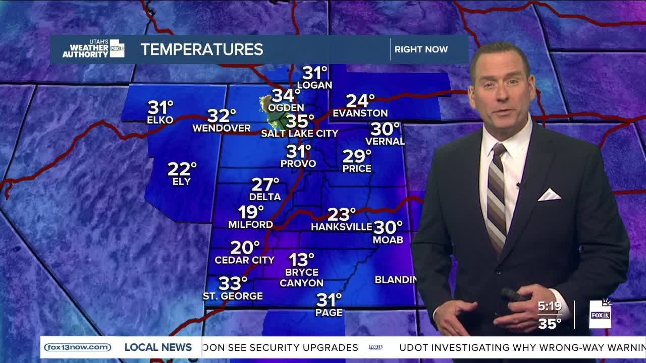
SALT LAKE CITY
Tuesday: Cloudy with a chance of light rain & snow. Highs: Low 40s.
Tuesday Night: Cloudy. 40% chance of snow showers with light accumulation possible. Lows: Near 30.
ST. GEORGE
Tuesday: Partly cloudy. Highs: Near 50.
Tuesday Night: Mostly clear. Lows: Lower 30s.
