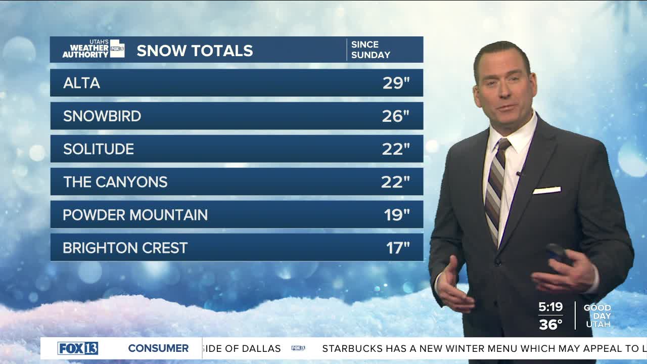
We're between storms today with high pressure keeping it sunny & dry!
Take advantage of it, the next storm moves in late Wednesday. Out ahead of it, valley rain & mountain snow will develop by the afternoon & evening. A cold front will move in by Thursday morning and cross the state during the day. As cold air moves in behind the front, rain will change to snow in the valleys. The exception could be far southern Utah where it could just stay as rain in Lower Washington County.
With accumulations possible even down to the valley floors, it will likely be the first dose of winter driving conditions for much of Utah. As of now it looks like 1-3 inches of snow will be possible in the valleys, 3-6 inches on the benches, and 6-12 inches in the mountains. Amounts could range from 8-24 inches in the Cottonwoods.
There's a chance lake effect snow could impact Salt Lake Valley on Thursday & and again Friday morning. That could bring even higher snow amounts.
It's going to dry out this weekend with valley inversions becoming likely.
SALT LAKE CITY
Tuesday: Sunny. Highs: Near 50.
Tuesday Night: Mostly clear. Lows: Mid 30s.
ST. GEORGE
Tuesday: Partly cloudy. Highs: Mid 50s.
Tuesday Night: Mostly clear. Lows: Upper 30s.


