
It's a calm and chilly start to the weekend statewide. Northerly flow in place this morning has allowed overnight lows to dip roughly 10 degrees below average. High pressure is building in for the weekend, which will allow temperatures to rebound through Sunday.
Highs today will reach the upper 40s across northern Utah, with mid-60s expected in St. George. Plan on additional warming into the work week, with well-above-normal temperatures arriving on Monday.
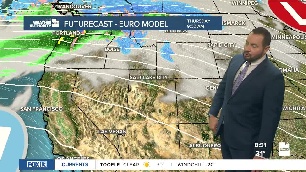
As we head into the work week, the storm track will remain to the north with a westerly flow setting up across the region. A weak trough moving through the flow should graze northern Utah on Tuesday, bringing a mainly dry front through the area.
Temperatures will feel very spring-like this week, though a bit of a rollercoaster trend will develop. Highs will fluctuate back near average on Tuesday following the cold front, with a general trend of above-normal highs through the remainder of the week.
In southern Utah, expect highs to reach the 80s by the end of the work week, while the Wasatch Front climbs into the mid to upper 60s.
