

SALT LAKE CITY — Utah’s snow season got off to a slow start, but that outcome didn’t come as a surprise.
Back in November, the Utah Weather Authority team released its winter outlook, outlining how snowpack could shape up across different parts of the state. That forecast was driven largely by a weak La Niña pattern, which often favors colder but drier conditions.
Now, halfway through winter, the big question is whether that outlook is holding up — and whether the second half of the season can make up for lost ground.
At the start of winter, the forecast leaned toward near-average to slightly above-average snowpack in northern Utah’s mountains, while central and southern Utah were expected to fall below average. Each meteorologist focused on a specific region, breaking down how that climate pattern could influence snow totals.
So far, the forecast has proven fairly accurate.
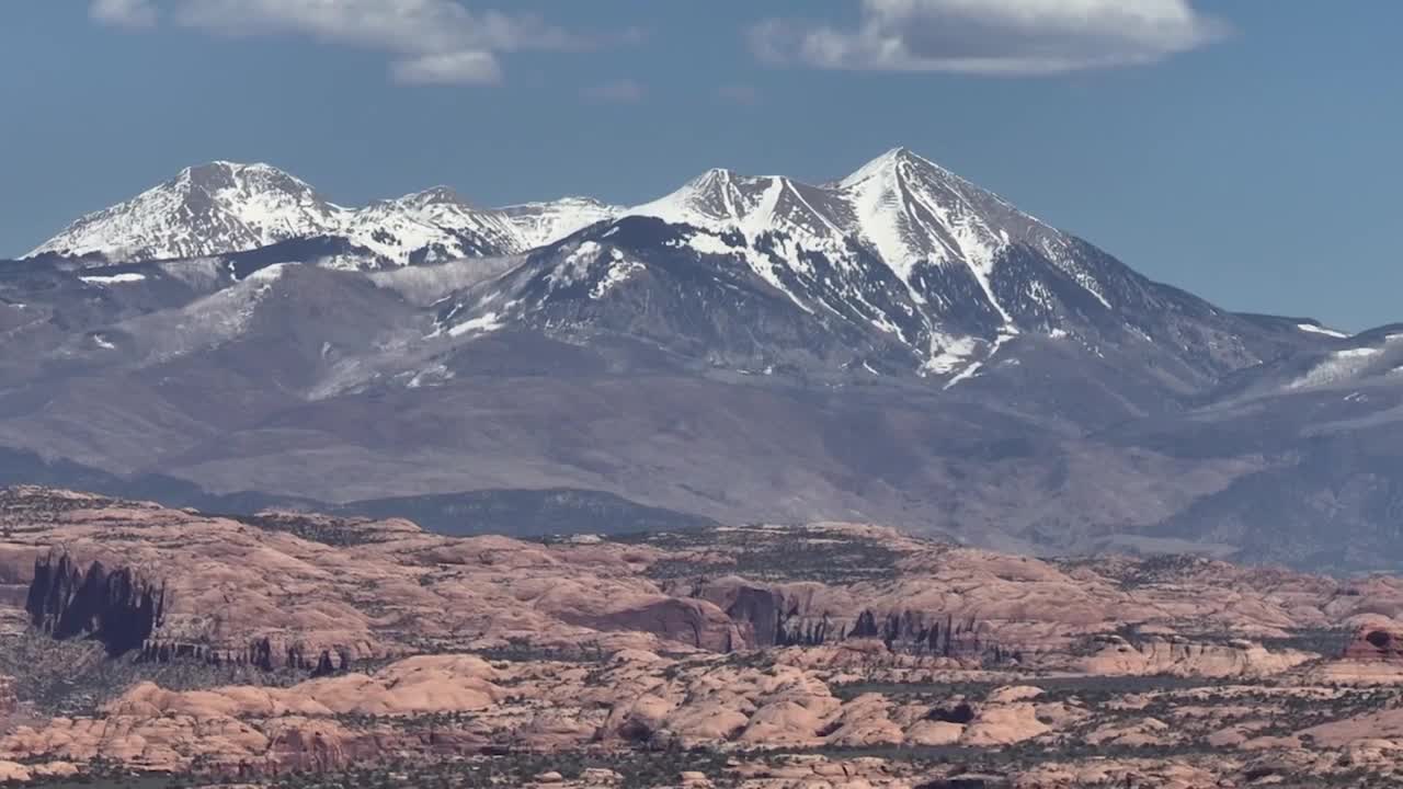
In northern Utah, snowpack is close to average in the Bear River Range and the western Uinta Mountains. The Wasatch Mountains, however, are lagging, currently sitting at just 60 to 70 percent of average for this point in the season. Conditions are more concerning farther south, where central and southern Utah mountain snowpack is running between 45 and 55 percent of average.
With storm activity limited in recent weeks, many are asking whether Utah can still recover. To explore that question, the Utah Weather Authority spoke with experts from the Colorado Basin River Forecast Center and the Utah Climate Center.
Meteorologist Nanette Hosenfield with the Colorado Basin River Forecast Center says that if the rest of winter produces only average precipitation, runoff will remain well below normal. Under that scenario, Lake Powell would receive only about 45 to 50 percent of its typical inflow by spring. The outlook is not much better for the Great Salt Lake, where inflows would likely reach just 55 to 60 percent of average.
Making up the deficit would require an unusually strong finish to winter. Hosenfield says reaching average runoff into Lake Powell would take two back-to-back months with roughly double the normal precipitation. Northern Utah would need a similar surge to erase current shortfalls. Right now, long-range forecast models place the probability of that outcome at around ten percent.
There is, however, a small window of hope.
Climatologist Dr. Jon Meyer notes that late January through late March is historically the wettest stretch of Utah’s winter season. This is when the state is most likely to see larger, more impactful storms capable of delivering meaningful snowpack gains.
Utah has experienced slow starts to winter before, but meaningful recoveries usually require powerful storm systems, such as moisture-rich atmospheric rivers from the southwest that can drop several feet of snow in a single event. At the moment, that is not the dominant pattern. Instead, the current setup favors northwesterly flow, which typically brings colder but drier storms that struggle to deliver the snow totals needed for a major rebound.
With confidence low for significant snowfall ahead and drought concerns increasing, the Utah Weather Authority will continue tracking every storm opportunity and what it could mean if those storms fail to materialize. The second half of winter still matters — but it would take something big to change the course of the season.
