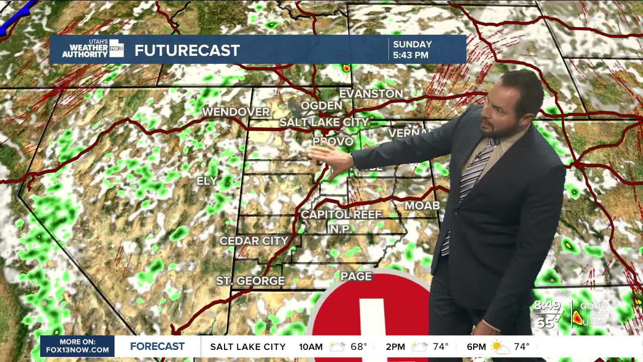

It’s another round of scattered showers and storms across the state today, as a trough of low pressure to the south continues to funnel moisture northward. The best chance of storms will be over the higher terrain.

Along the Wasatch Front, expect mostly cloud cover with a few storms developing later this afternoon and evening. Temperatures will be closer to seasonal norms in the north, with highs in the mid-70s for northern valleys. St. George will top out near 80 degrees — about eight below normal.

In southern Utah, flash flooding remains a concern, especially in areas that see heavy rain. Avoid slot canyons, low-lying areas, and normally dry washes if you’re out recreating today.

Drier weather will settle in briefly on Monday, aside from a few mountain storms. Our next round of wet weather arrives Tuesday, when a clipper system will move into northern Utah, bringing scattered showers and thunderstorms. Stay tuned.
