

A frigid airmass in place this morning has brought some of the coldest temperatures of the season so far to northern Utah. Overnight lows have sunk into the teens and low 20s for the Wasatch Front, with single digit temperatures up in the mountains.
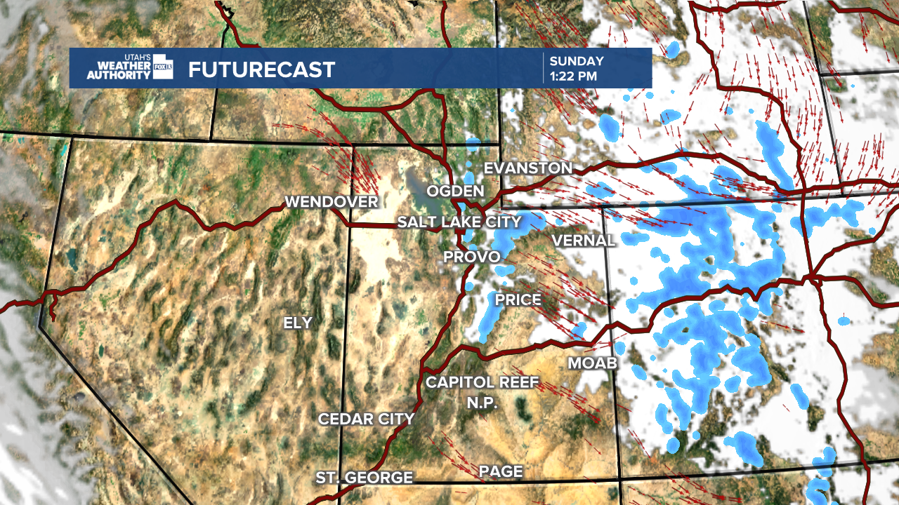
A weak weather disturbance will move through northeastern Utah this afternoon. Because it’s a cold and dry system, impacts will be pretty limited.

The best chance for any snow today will be in the northern mountains, mainly the Uintas. Even there, we’re talking very light snow with accumulations around an inch or less. Most northern valleys will stay chilly and struggle to reach 40 degrees again today. Farther south and into east-central Utah, highs will be milder, generally in the 40s and 50s.
Looking ahead, several weak disturbances will pass through northern Utah through Tuesday. These systems don’t have much moisture, so no precipitation is expected. The upside? They should help prevent strong inversions from setting up, allowing temperatures to slowly warm up over the next few days.
By Wednesday, a weak ridge of high pressure moves overhead. Another small disturbance may try to knock it out of place late Wednesday into Thursday, especially near northeastern Utah. A few models hint at a chance for very light precipitation, but confidence is low and any amounts would be minimal at best. Stay tuned.
