

BRRR! Cold air in place behind yesterday's storm will keep it chilly today! Temps in some of the northern & western valleys will struggle to climb above freezing.
Lake effect snow south of the Great Salt Lake will taper off around sunrise, but some roads will still be slick! Gusty winds near the canyons of Washington County will also decrease around sunrise.
High pressure building this weekend will keep it dry, but unfortunately help valley inversions develop. Air quality will decrease over the weekend with a noticeable increase in valley haze by early next week.
SALT LAKE CITY
Friday: Sunny & colder. Highs: Mid 30s.
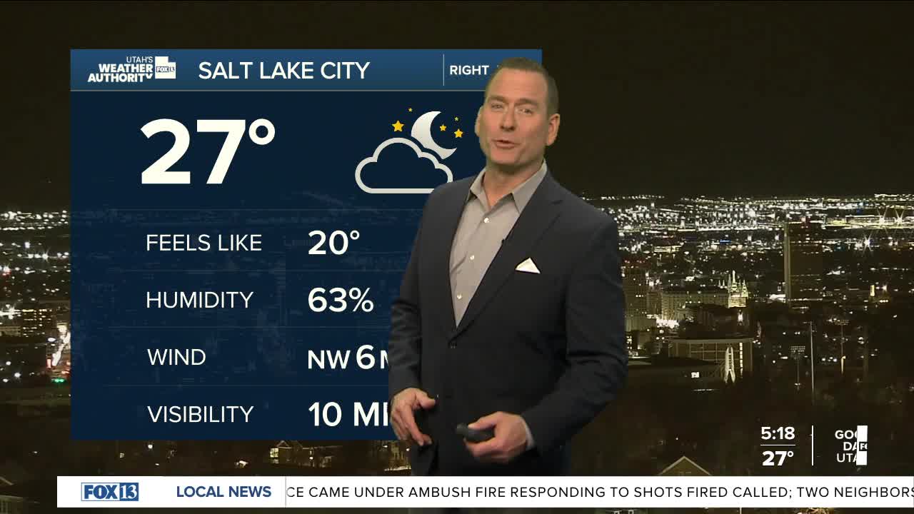
Friday Night: Clear & cold. Lows: 15-20.
Saturday: Sunny. Highs: Upper 30s.
Sunday: Mostly sunny. Highs: Upper 30s.
ST. GEORGE
Friday: Sunny & breezy. NE winds 15-25 mph in the morning. Highs: Low 40s.
Friday Night: Mostly clear. Lows: Mid 20s.
Saturday: Sunny. Highs: Mid 40s.
Sunday: Sunny. Highs: Near 50.
