

Another dry & hazy day, but get ready for some changes!
A storm off the coast will move onshore and track well to our south tomorrow. Light valley rain & mountain snow will be possible in Central & Southern on Friday and into Saturday morning. A few inches will be possible above 8,000 ft with 6 to 12 inches possible in the San Juan Mountains in SE Utah.
We're going to get shortchanged in the north...again! There's only a slight chance of light snow over the higher terrain of northern Utah.
A dry cold front will also drop in late Friday and move south across the area through Saturday. Much colder temps are expected behind it this weekend. That should be enough to significantly weaken, if not break up, the inversions and bring better air quality.
Gusty winds are also possible behind the front near the canyons of SW Utah on Saturday. There's a chance some of the gusts could be in excess of 45 mph.
Another stretch of dry weather is expected again most of next week.
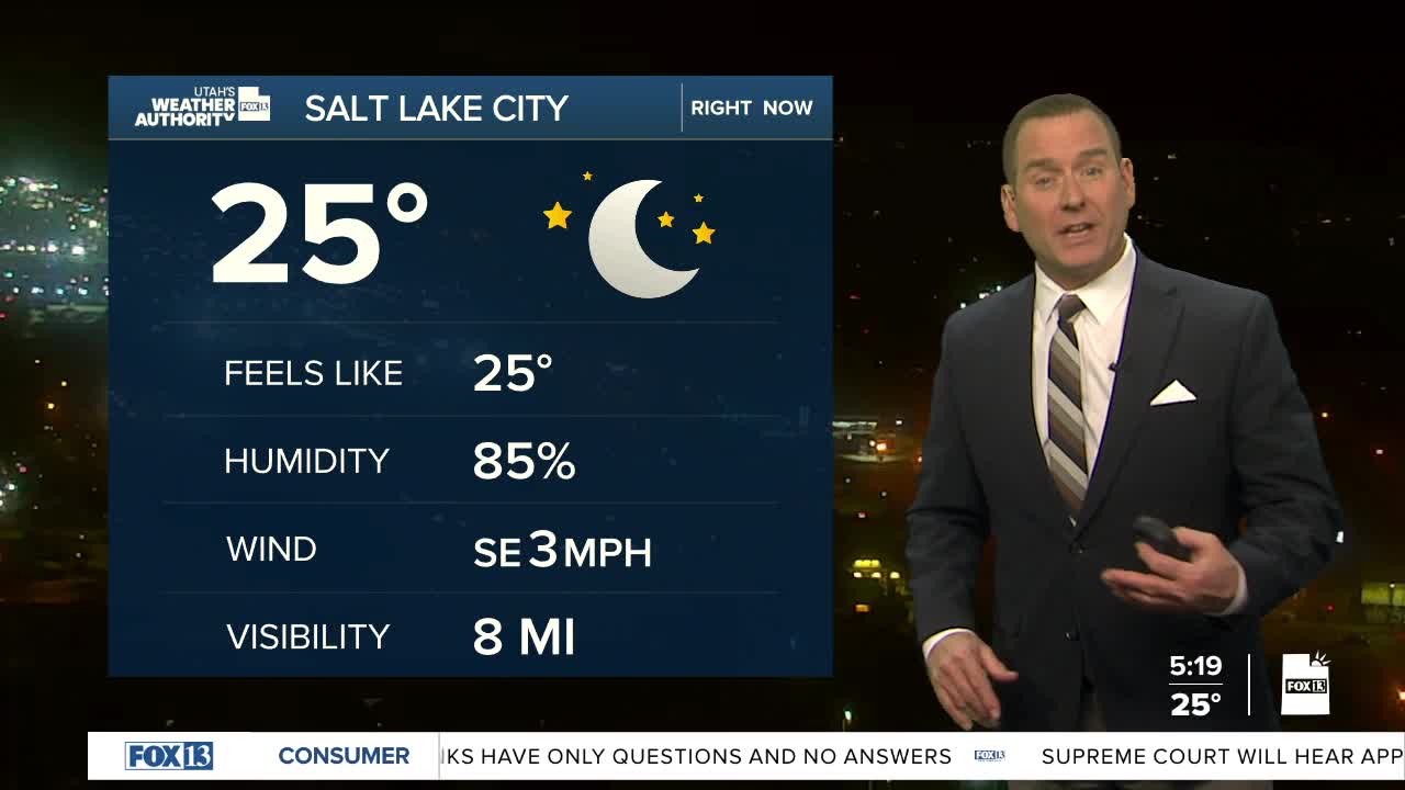
SALT LAKE CITY
Thursday: Partly cloudy with widespread haze. Highs: Mid 40s.
Thursday Night: Becoming mostly cloudy. Haze. Lows: Upper 20s.
ST. GEORGE
Thursday: Mostly cloudy. Highs: Near 60. .
Thursday Night: Mostly cloudy. Lows: Upper 30s.
