

Some of you have to fight the fog in the morning! Patchy fog is most likely in SW Wyoming and along the Wasatch Back, but should thin out by mid-morning. More fog is possible tomorrow morning, especially in Cache Valley & near the reservoirs.
Light rain & snow showers will linger over SE Utah today, then taper off this evening.
High pressure building over Utah will bring warmer & dry this weekend, then colder storms move in next week. Significant mountain snow is possible and we might even get accumulation in the valleys!
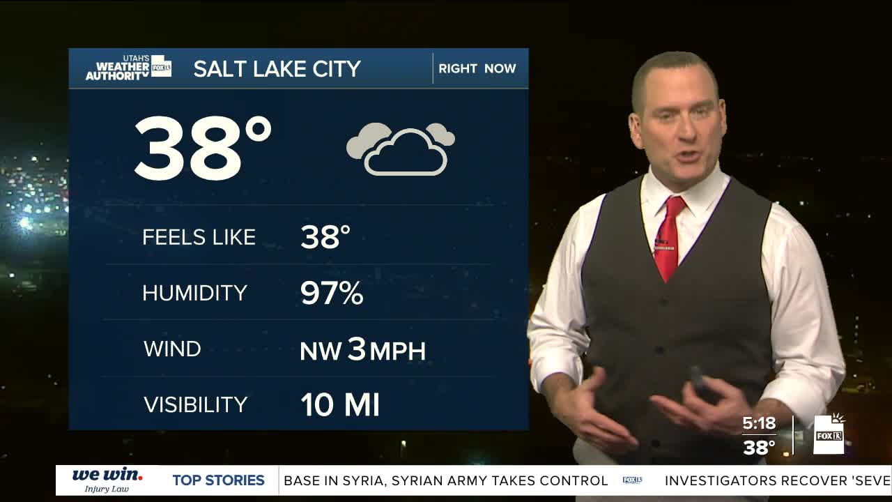
SALT LAKE CITY
Friday: Becoming mostly sunny after morning clouds & patchy fog. Highs: Near 50.
Friday Night: Clear & cold. Lows: Lower 30s.
Saturday: Partly cloudy. Highs: Low 50s.
Sunday: Becoming mostly cloudy. Highs: Upper 50s.
Presidents Day (Monday): Partly cloudy & breezy. Highs: Near 60.
ST. GEORGE
Friday: Becoming partly cloudy. Highs: Low 60s.
Friday Night: Mostly clear. Lows: Upper 30s.
Saturday: Sunny & warmer. Highs: Mid 60s.
Sunday: Partly cloudy. Highs: Mid 60s.
Presidents Day (Monday): Mostly cloudy with a chance of rain in the afternoon. Highs: Mid 60s.
