

Last night's storm is winding down.
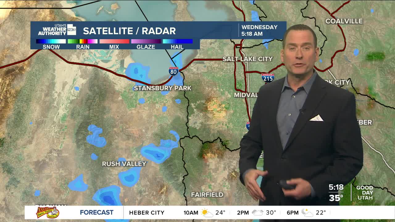
Lake effect snow, which made for a slick start to the day across parts of Eastern Tooele County, will taper off by mid-morning, with spotty rain & snow showers across the south ending this afternoon. Otherwise, it'll dry out quickly along the Wasatch Front and become partly cloudy.
It's going to get colder overnight with temps dropping into the mid 20s in the Salt Lake Valley. Patchy fog is possible tomorrow morning, especially in Cache Valley & parts of SW Wyoming.
We'll get a nice break tomorrow before a warmer, wetter storm brings valley rain and a good chance of heavy snow this weekend. As of now, it looks like there could be 12-24 inches or more in the Cottonwoods!
SALT LAKE CITY
Wednesday: Becoming partly cloudy. Highs: Near 40.
Wednesday Night: Partly cloudy & colder. Lows: Mid 20s.
ST. GEORGE
Wednesday: Sunny. Highs: Low 50s.
Wednesday Night: Clear & cold. Lows: Upper 20s.
