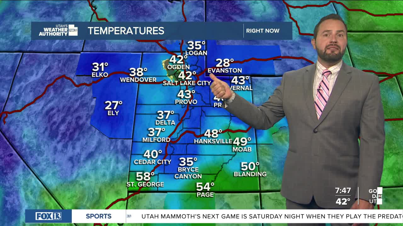

After Saturday’s strong cold front, Sunday brings a calmer, cooler day across Utah. Temperatures have tumbled a good 15 to 25 degrees compared to yesterday, and highs up north will struggle to make it out of the 50s.

Farther south, you’ll find a bit more warmth with highs in the 60s and low 70s under mostly sunny skies. Not a bad fall day overall!

Enjoy the quiet weather while it lasts, though — things start to ramp up again Monday. Increasing southwest flow will pull in more moisture across southern Utah as the next storm system gets organized.

That system is another trough dropping out of the Pacific Northwest. It’ll help temperatures bounce back to near seasonal levels Monday before the next cold front slides through midweek.
As it gets closer, showers and a few thunderstorms will start to pop up. Rain chances go up for northern Utah late Monday into Tuesday, with that front sweeping through on Wednesday.

Bottom line? Our fall weather roller coaster isn’t slowing down anytime soon — another active week is ahead!
