
Good Sunday morning, Utah!
It’s a much calmer start to the day compared to the heavy rains we saw Saturday. On that note, Salt Lake City set new records for the day, month, and nearly an all-time record for the second-wettest day on record.

The airport picked up 2.47" of precipitation Saturday — just 0.17" shy of the all-time wettest day on May 3, 1901, when 2.64" was recorded. It was also the wettest October day ever, crushing the previous daily record of 0.74" set in 1882.
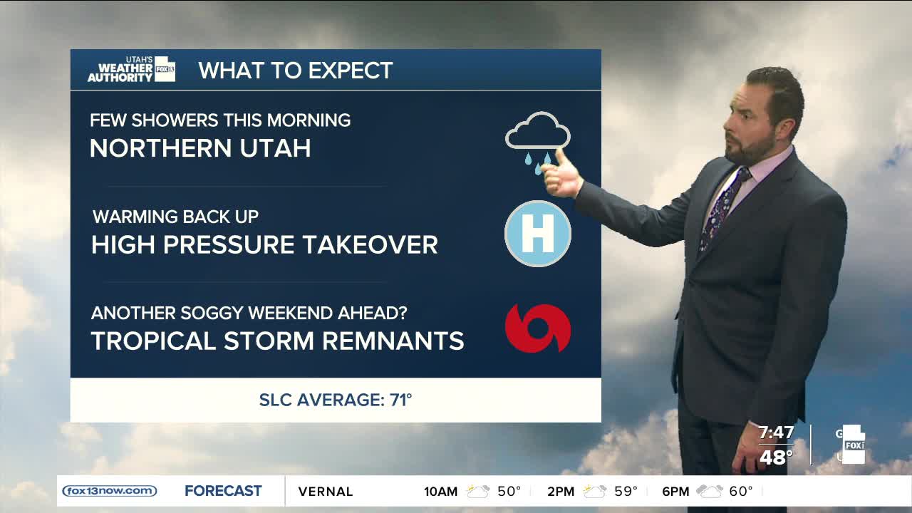
As for today’s forecast, a trailing wave of moisture will move through the northern half of the state, bringing a few scattered showers to far northern Utah.

Northwest flow will keep temperatures roughly 10 degrees below average for this time of year, with highs in the upper 50s to low 60s up north and 60s to 70s across southern Utah. High pressure will build into the region as the storm exits Monday, allowing warmer and drier weather to settle in through midweek.

