

We're coming off a nice weekend and luckily it'll be a warm start to the week!
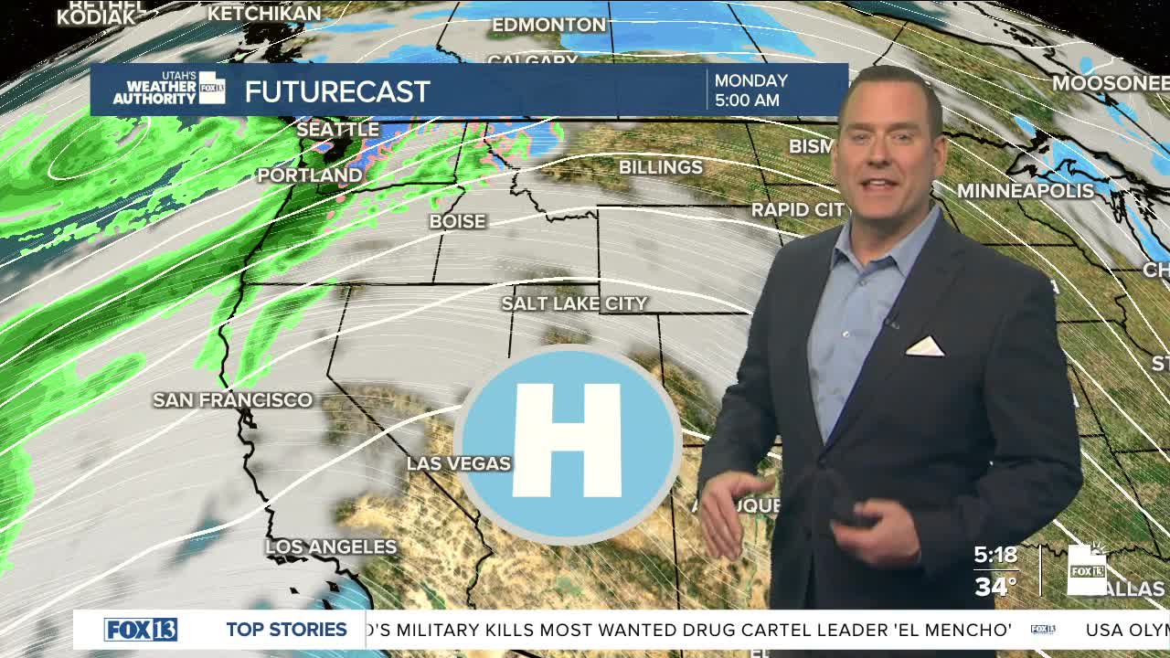
High pressure building over Utah will keep it dry and help temps climb well above average. But for the north, today's going to be the "calm before the storm". A couple weather systems will drift across Utah during the middle of week, mainly impacting the north.
The first system will move in from the west tomorrow. With the lack of cold air, valley temps will climb into the mid 50s again with snow levels around 7,000 or 8,000 ft. That means we'll just get rain in the valleys.
Another storm on Wednesday will be a little cooler, but snow levels should still stay above the valley floors.
We'll dry out on Thursday and then warm up even more by the weekend.
SALT LAKE CITY
Monday: Becoming partly cloudy. Highs: Mid 50s.
Monday Night: Mostly cloudy. Lows: Near 40.
ST. GEORGE
Monday: Sunny. Highs: Upper 60s.
Monday Night: Mostly clear. Lows: Near 40.
