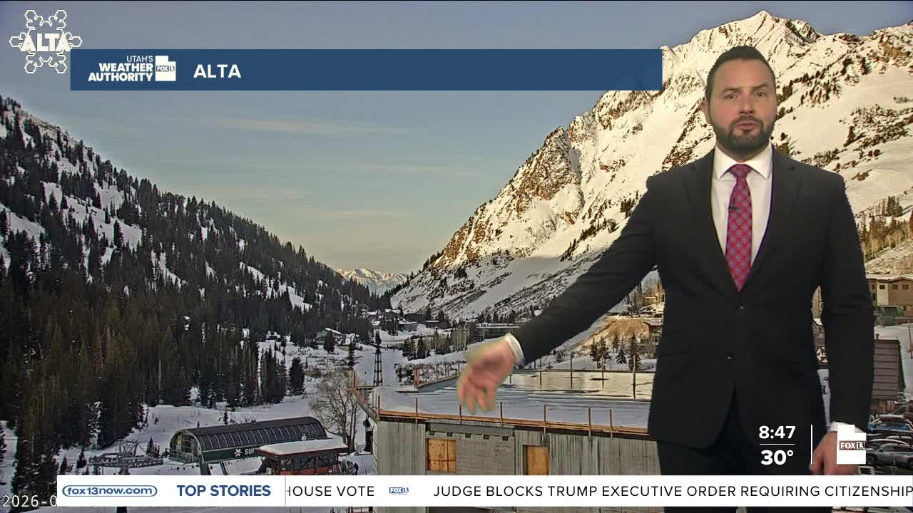
It's one of those mornings that makes you double-check the map. Early today, Salt Lake City woke up in the upper 20s, cold by most standards but fairly typical for early February. Meanwhile, parts of central Florida were even colder. Orlando dipped into the mid to upper 20s, making it colder there at sunrise than it was along the Wasatch Front.

Locally, dry and stable weather will remain in control through the coming week as high pressure builds over the region. A weak disturbance brushing past to the north on Monday and Tuesday will briefly flatten the ridge and bring cooler air aloft, helping prevent strong inversions from becoming fully established.
By midweek, high pressure becomes more centered over the Great Basin. That will allow warmer air aloft and lighter winds to take over, leading to increasing haze and reduced air quality in some valleys. High temperatures across much of Utah will climb to 10 to 15 degrees above normal, though inversion-prone valleys may stay cooler than surrounding higher elevations.
Looking ahead, there are early signs of change. Most forecast guidance points to a storm around February 9th or 10th. If that holds, it would bring the next chance for weather across Utah and southwest Wyoming, and potentially signal a more active weather pattern after a long dry stretch.


