

Hot weather might make it even more difficult for you to get over the mid-week hump!
Temps will climb near 100 along the Wasatch Front today & tomorrow with a moderate heat risk. Make sure you take time to get out of the heat at times and stay hydrated!
Low humidity and gusty SW winds will keep fire danger high across most of the area again. Winds could be even stronger tomorrow, especially over Central & Southern Utah.
Luckily, a dry cold front will move in late Thursday & early Friday, bringing lighter winds and cooler temps to the north.
SALT LAKE CITY
Wednesday: Sunny, hot, & breezy. SW winds 5-15 mph. Highs: Upper 90s.
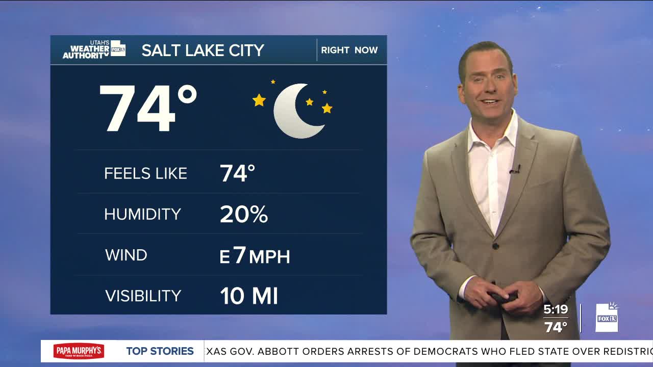
Wednesday Night: Partly cloudy. Lows: Near 70.
ST. GEORGE
Wednesday: Sunny & very hot. SW winds 10-20 mph. Highs: Near 107.
Wednesday Night: Mostly clear. Lows: Mid 70s.
