

The AC is going to have to work harder to keep your house comfortable today!
A southwest flow will keep it hot, dry, & windy most of the week and lead to high fire danger. Red flag warnings are in effect across most of the area today, but a dry cold front moving in tonight will bring lighter winds & slightly cooler temps to the north tomorrow. No change is expected in Central & Southern Utah, where high fire danger will continue through at least the middle of the week.
It looks like it'll stay dry for the next several days, but a slightly stronger cold front could cool it off near 90 along the Wasatch Front by the weekend.
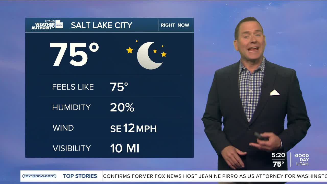
SALT LAKE CITY
Monday: Mostly sunny with patchy smoke in the afternoon. SW winds 10-15 mph. Highs: Mid 90s.
Monday Night: Mostly clear with patchy smoke in the evening. Lows: Mid 60s.
ST. GEORGE
Monday: Becoming partly cloudy with patchy smoke. SW winds 10 to 20 mph by late afternoon & evening. Highs: Near 104.
Monday Night: Partly cloudy with patchy smoke through the night. Lows: Lower 70s,
