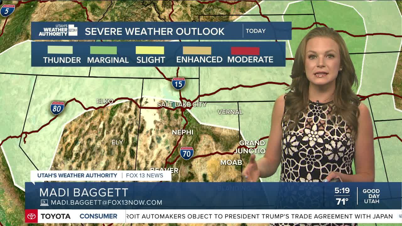

A weak storm system will track eastward across Utah today, leading to some mountain shower development. Isolated to scattered showers and thunderstorms are likely throughout the afternoon, especially in northern Utah. The primary concerns with this line of storms will be gusty winds and lightning. Little to no rain is expected from these storms.
Highs across northern and central Utah will be in the upper 80s to low 90s, while those in southern Utah will reach the upper 90s.
Despite a chance for some rain, a gradual warming trend is anticipated through early next week. An area of high pressure stationed over the Central Plains will deprive Utah of any potential moisture and will send highs above normal.
Daytime temperatures will be about 5-10 degrees above normal by Monday. Highs will be in the mid to upper 90s along the Wasatch Front and western valleys and anywhere from 100-105 for southern Utah.
