

After a very warm morning, we're gearing up for another hot July day!
Increasing south winds will become gusty and lead to high fire danger in Western UT/Eastern NV and in SW Wyoming.
Even though it'll be dry in those areas, moisture spreading north will bring a chance of showers & t-storms, especially in the afternoon & evening. They're most likely along and east of the mountains and less likely farther north and west.
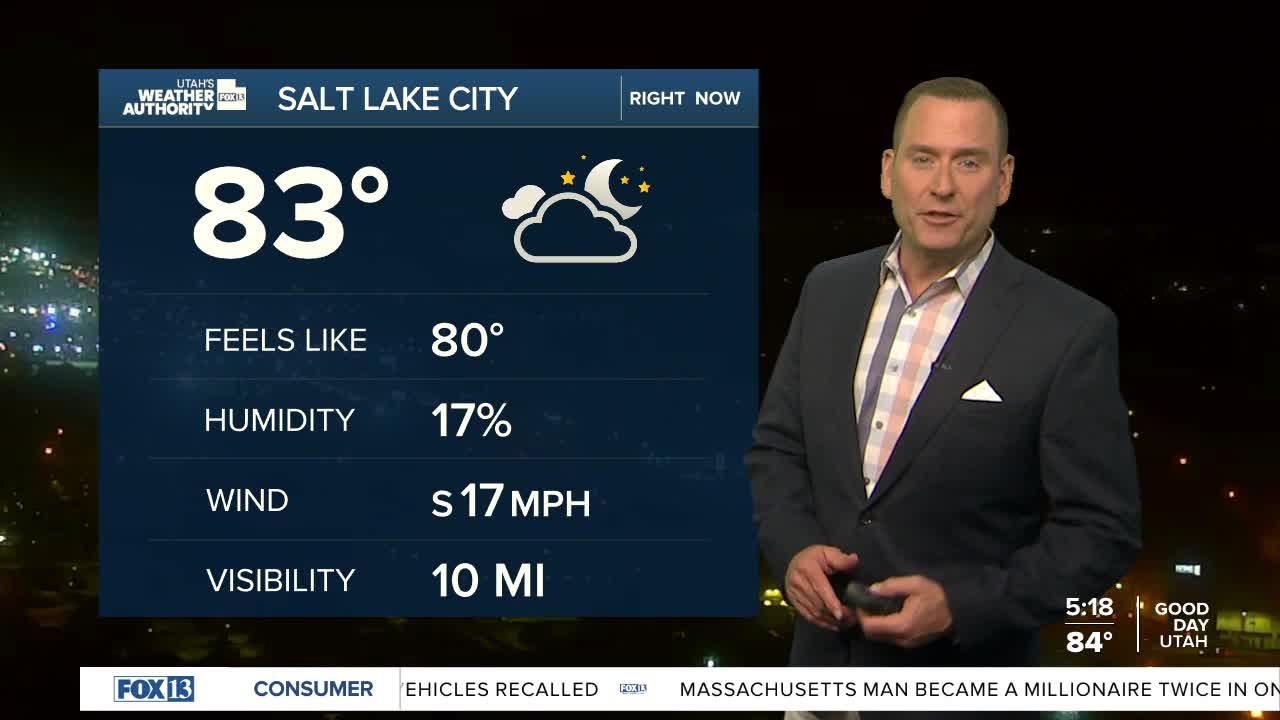
SALT LAKE CITY
Monday: Partly cloudy with a 10 percent chance of PM showers & t-storms. South winds 10-15 mph. Highs: Mid 90s.
Monday Night: Partly cloudy. Lows: Lower 70s.
ST. GEORGE
Monday: Partly cloudy with a slight chance of PM showers & t-storms. Highs: Upper 90s.
Monday Night: Mostly clear. Lows: Lower 70s.
