

Today's going to be the hottest day of the week! Luckily, temps will drop a little tomorrow behind a weak cold front crossing the area tonight.
Ahead of the front, hot & dry conditions combined with gusty winds will keep fire danger high across much of the area. Mainly dry t-storms are possible in the afternoon & evening with gusty winds being the biggest threat. Some of the strongest winds could be across Northern Utah if any strong to severe storms develop. Keeping that in mind, be flexible with any outdoor plans this evening and make sure you have shelter nearby.
Moisture moving into the south could bring heavy rain & possibly lead to flash flooding late in the week.
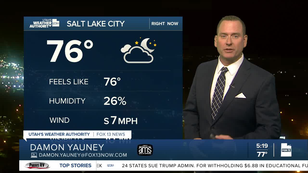
SALT LAKE CITY
Tuesday: Partly cloudy & hot with isolated PM t-storms possible. Some storms could produce strong gusty winds. Highs: Near 100.
Tuesday Night: Partly cloudy with decreasing t-storms. Lows: Near 70.
ST. GEORGE
Tuesday: Sunny & very hot. Highs: Near 105.
Tuesday Night: Mostly clear. Lows: Upper 70s.
