

The storm is winding down, but I don't think we're quite done with the snow yet! Lake effect is possible, with the best chance for Davis & Weber Counties through late morning.
It looks like that last part of the storm will slide out of the area this afternoon. As a result, showers should end quickly. Otherwise, it'll become sunny & cool across much of UT.
I think you'll probably like how the second half of the week feels. After a very cold start tomorrow morning, high pressure will keep it warmer and dry through Friday. More wet weather moves in this weekend.
SALT LAKE CITY
Tuesday: Partly cloudy & colder with a slight chance of morning snow, then sunny in the afternoon. Highs: Near 40.
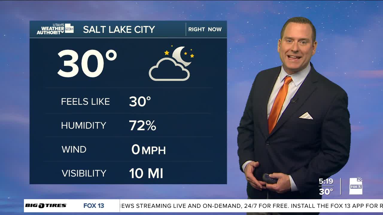
Tuesday Night: Clear & cold. Lows: Mid 20s.
ST. GEORGE
Tuesday: Sunny. Highs: Mid 50s.
Tuesday Night: Mostly clear. Lows: Lower 30s.
