

Another quiet day across Utah with valley inversions keeping it hazy across the north. After another cold morning, afternoon temps will climb several degrees above average.
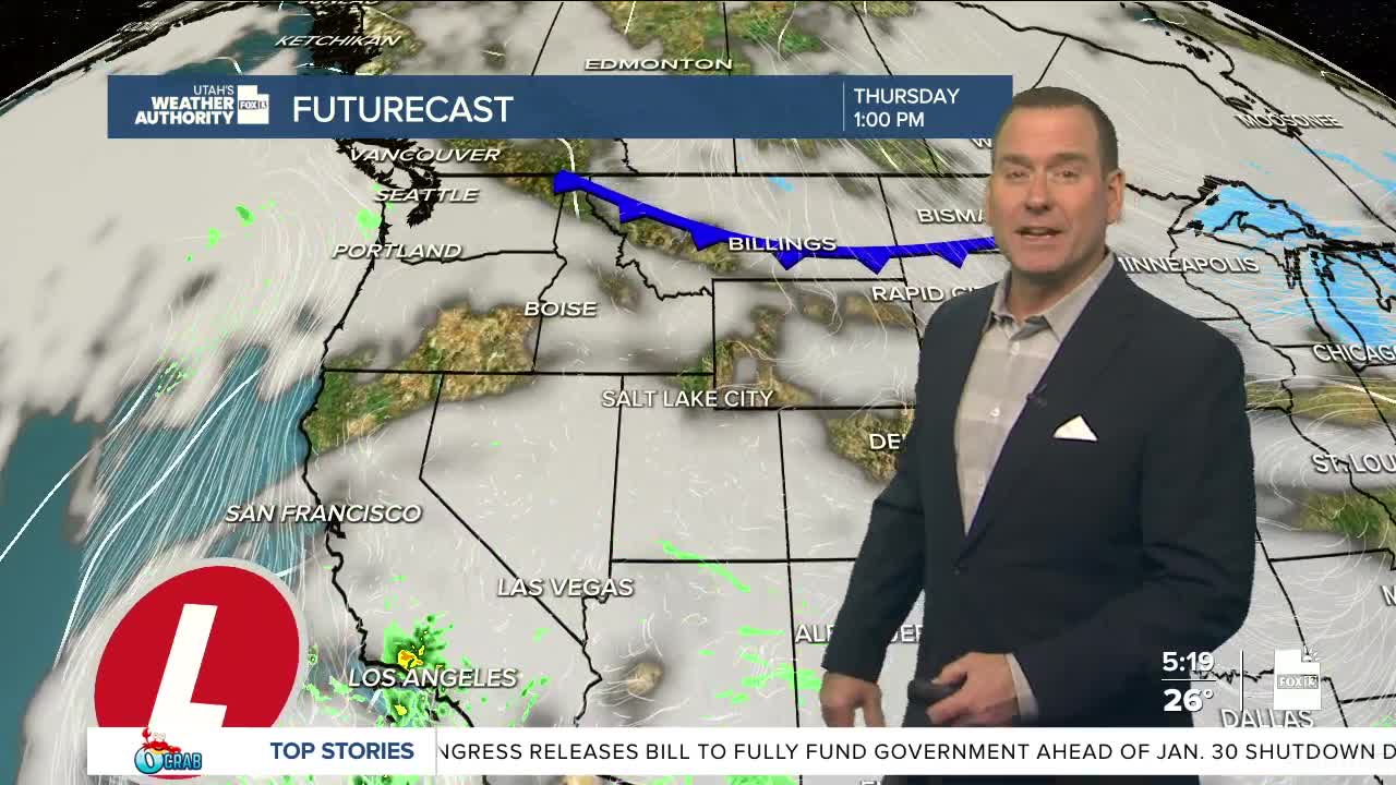
Mid & high clouds will increase today and tomorrow ahead of the next Pacific storm.
The center of it will cross the Desert SW later this week, but could bring light valley rain & mountain snow to Central & Southern UT Friday. Most of any precipitation looks like it would stay south of Interstate 70. Light rain & snow will be possible in the valleys with 2-6 inches possible in the mountains.
It'll likely dry out by Saturday when a cold front drops south across the area. Much colder temps are expected along with gusty canyon winds across SW Utah.
SALT LAKE CITY
Wednesday: Mostly sunny with haze most likely in the afternoon. Highs: Mid 40s.
Wednesday Night: Partly cloudy & hazy. Lows: Upper 20s.
ST. GEORGE
Wednesday: Mostly sunny. Highs: Upper 50s.
Wednesday Night: Mostly cloudy. Lows: Upper 30s.
