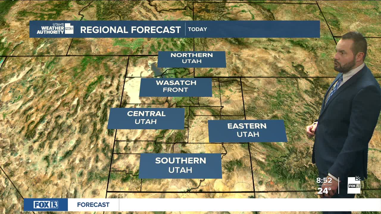

Light snow will linger into this afternoon across parts of central and southern Utah, but any additional accumulation will be minimal. Valleys may see a dusting, while mountain areas could pick up an inch or two before snow showers taper off later today.
As the storm clears, colder air will move in. Sunday morning is expected to bring some of the coldest temperatures of the season, especially across northern Utah.
Gusty winds will also develop this afternoon and evening in parts of southwest Utah, particularly in Washington County. Wind gusts could briefly reach 40 to 50 mph in localized areas before easing tonight.
High temperatures today will run below normal statewide. Northern and central Utah valleys will struggle to reach 40 degrees, while southern Utah may climb into the mid to upper 40s.
Clearing skies tonight will allow temperatures to drop quickly, with wind chills in the teens along the Wasatch Front and single digits in some valleys by early Sunday.
Looking ahead, we remain under a northwest flow through Tuesday. A weak system Sunday could bring light snow to the Uinta Mountains, while another disturbance Tuesday appears drier. High pressure builds in by midweek, keeping conditions mostly quiet, with low confidence in any late-week storm chances.
