

We're finally getting another round of wet weather!
Valley rain & mountain snow will become widespread across Utah today & early tomorrow. With weather systems moving in from the SW, temps will still climb well above average. Most snow will be above 7,000 ft across Northern Utah and above 8,000 ft. in Southern UT. The best chance of heavier precipitation in the north will likely be between 5 am and noon, then from 5 pm to 3 am tomorrow morning.
There's a slight chance of thunderstorms this afternoon, which could bring periods of heavy rain. Regardless, give yourself plenty of time to get around today!
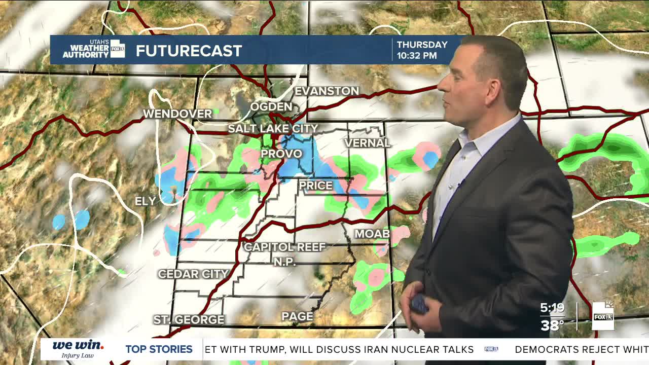
Another system brushing by to our south could bring more light precipitation to the south late Thursday into Friday. After a break this weekend, another series of storms moves in early next week.
SALT LAKE CITY
Wednesday: Rain most likely in the morning, then showers in the afternoon with a slight chance of t-storms. South winds 10-20 mph. Highs: Mid 50s.
Wednesday Night: Rain increases in the evening and continues overnight. Lows: Near 40.
ST. GEORGE
Wednesday: Cloudy & cooler with rain likely. Highs: Mid 60s.
Wednesday Night: Rain in the evening, then partly cloudy with a slight chance of showers after midnight. Lows: Lower 40s.
