
Just like yesterday, moisture will still linger over the region today so some rain and thunderstorms may be possible across the mountains. If storms do develop they could bring gusty winds and localized downpours, especially across northwest Utah.
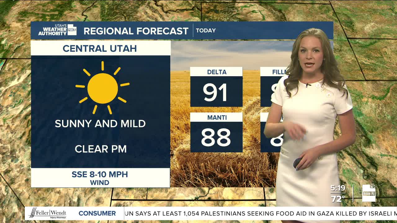
Temperatures will once again trend slightly below average today as highs will be near 90 for northern Utah and the upper 90s for southern Utah.
Starting Thursday night, drier air will move into the region and will stick around for the holiday weekend. Since it will be so dry, there could be a higher risk of wildfires into next week.
For Pioneer Day, there is a small chance of thunderstorms in central and northern Utah before the dry air moves in.
As high pressure builds off to the east, temperatures will continue to rise. By next Monday, the Wasatch Front could see highs in the upper 90s. Places like St. George and Lake Powell may see temperatures well into the 100s.
