

After a hot start, cooler & wet weather will settle in later this week.
Temps will climb several degrees above average across the north again today, while increasing clouds across the south will cool it off a little.
Monsoonal moisture will move into SW Utah today & tomorrow, bringing a chance of PM showers & t-storms. At first, the biggest impact out of those storms could be gusty winds with rain becoming more likely on Thursday. Another surge of moisture will bring more widespread showers & t-storms from Friday into the weekend. Those storms will bring a much better chance of rain, which could become heavy at times. The flash flood threat will increase and temps will drop about 10 degrees lower than today.
Warmer, dry weather is expected early next week.
SALT LAKE CITY
Wednesday: Partly cloudy & very warm. Highs: Low 90s.
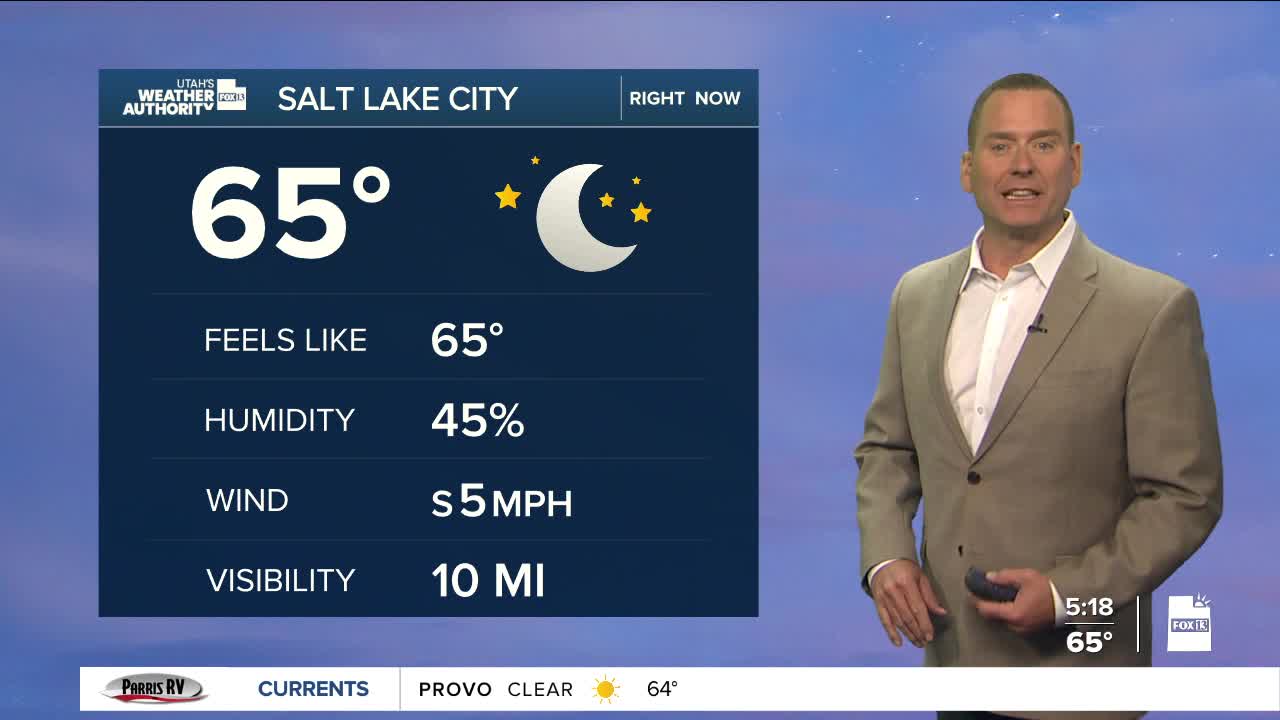
Wednesday Night: Partly cloudy. Lows: Mid 60s.
ST. GEORGE
Wednesday: Mostly cloudy with a 40% chance of showers & t-storms in the afternoon. Highs: Mid 90s.
Wednesday Night: Showers & t-storms in the evening, then decreasing after midnight. Lows: Lower 70s.
