

The last storm this week is bringing one more round of snow!
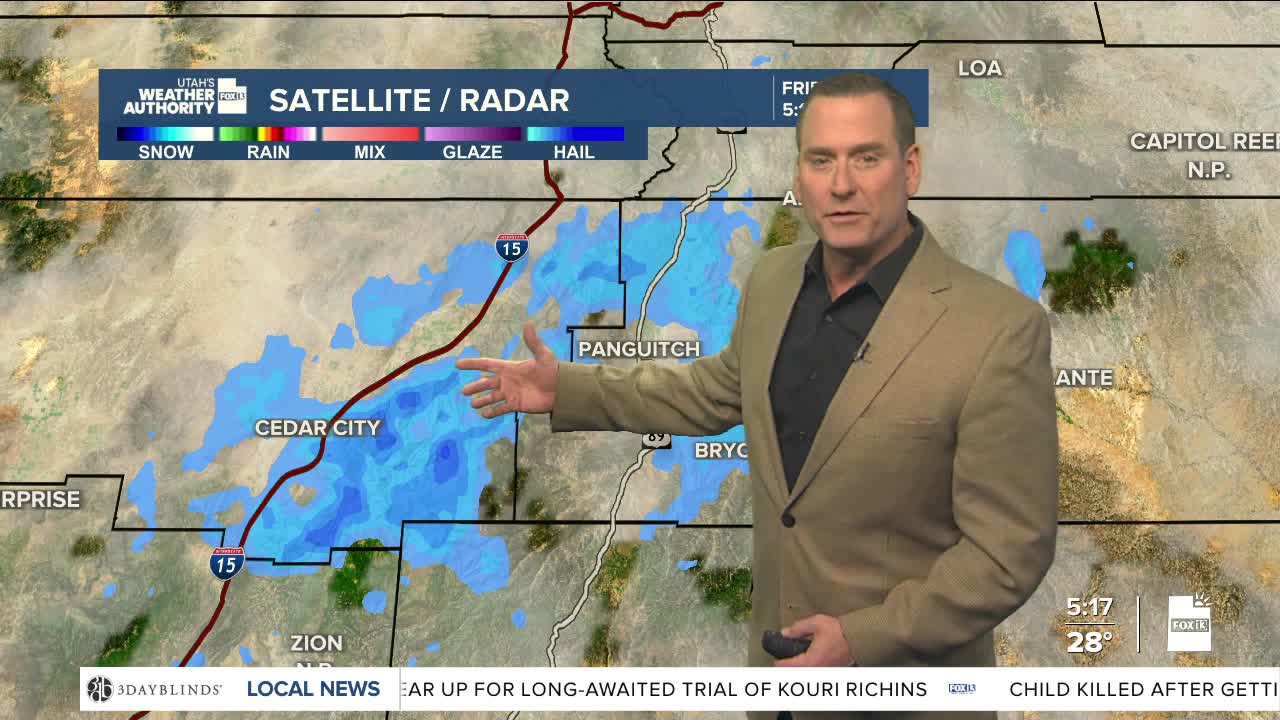
A storm near the Four Corners will move east by the afternoon, but moisture wrapped around it will keep some showers going early today. Snow is most likely across Central & Southern Utah in the morning with another 1-4 inches likely in the valleys and up to 8 inches in the mountains. A northwesterly flow could allow more spotty, light snow showers to develop across Utah this afternoon, especially over the mountains.
High pressure will build in later today and into the weekend, bringing warmer, dry weather. But as skies clear off tonight, temps will go into a free fall! Single digits & teens are possible in some valleys on Saturday morning with temps bottoming out near 20 along the Wasatch Front.
Temps will climb well above average next week. Enough so that a storm brushing by during the middle of the week will bring rain to the valleys of Northern Utah with snow confined to the mountains.
SALT LAKE CITY
Friday: Partly cloudy with a chance of light snow showers. Highs: Mid 30s.
Friday Night: Partly cloudy & colder. Lows: Near 20.
Saturday: Sunny. Highs: Mid 40s.
Sunday: Mostly sunny. Highs: Near 50.
ST. GEORGE
Friday: Partly cloudy with a few morning flurries, then becoming sunny. Highs: Upper 40s.
Friday Night: Mostly clear & cold. Lows: Mid 20s.
Saturday: Sunny. Highs: Near 50.
Sunday: Mostly sunny. Highs: Upper 50s.
