

It's not much of a break, but after a cold front moved through last night it's not going to be as hot today!
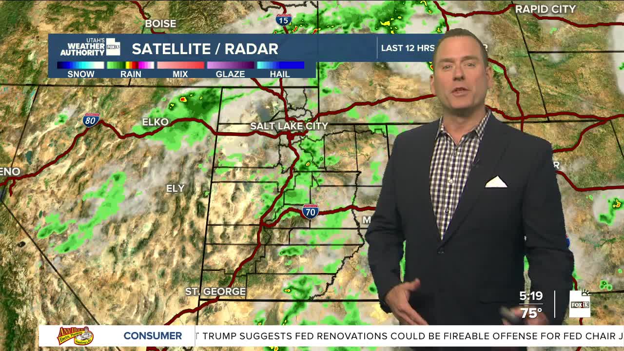
A few showers & t-storms could pop up today, mainly over the mountains and across Southern Utah. Rain is possible, but gusty winds are likely going to be the biggest impact.
A southerly flow will develop tomorrow with monsoonal moisture increasing across the south. That'll bring a better chance of showers & t-storms. With deeper moisture, storms could potentially bring heavy rain and lead to flash flooding in typical trouble spots like slot canyons.
SALT LAKE CITY
Wednesday: Mostly sunny with patchy smoke. Highs: Mid 90s.
Wednesday Night: Mostly clear. Lows: Near 70.
ST. GEORGE
Wednesday: Sunny & very hot. Highs: Near 102.
Wednesday Night: Mostly clear. Lows: Upper 70s.
