

Some of you need to dust off the snow-scrapers!
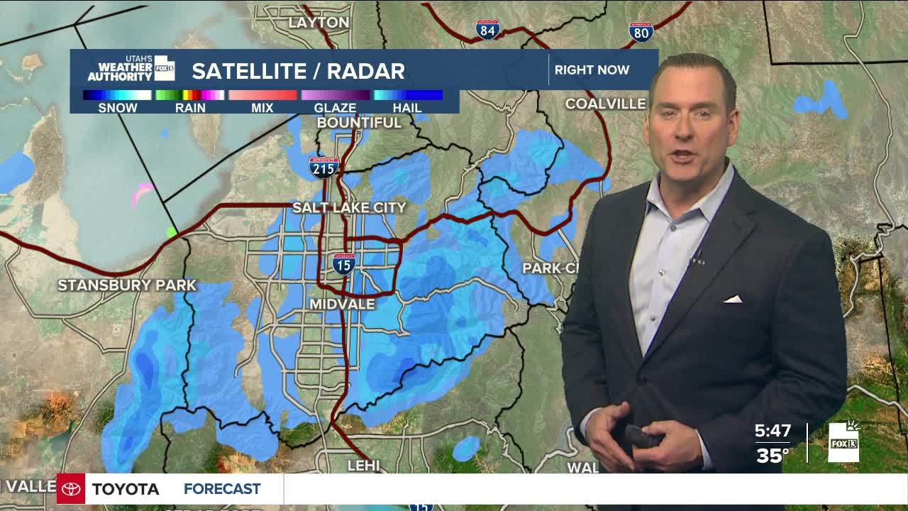
A weakening storm will bring more snow to northern and central Utah before it moves out later today. Snow will mix with rain in the valleys as it warms up today and then tapers off this afternoon. Snow showers could linger over the mountains through this evening with Winter Weather Advisories set to expire at 5 p.m.
Here's a look at how much more snow we might get by then:
- Northern & Central Mountains: 1-6"
- Wasatch Plateau & Southern Mountains: 2-4"
- Wasatch Back: 1-2"
- SW Wyoming: 1-2"
- Sanpete & Sevier Valleys: 1-2"
Lake effect has also brought accumulations and slushy roads to parts of Salt Lake and Tooele valleys this morning. As wet weather tapers off, the evening commute should be looking a lot better!
This weekend we'll turn the page to a taste of spring! It's going to be sunny & much warmer on Saturday and Sunday!
SALT LAKE CITY
Friday: Mostly cloudy with rain & snow showers decreasing by late afternoon. NW winds 10-20 mph. Highs: Mid 40s.
Friday Night: Partly cloudy & colder. Lows: Upper 20s.
Saturday: Sunny. Highs: Upper 40s.
Sunday: Mostly sunny. Highs: Upper 50s.
ST. GEORGE
Friday: Sunny & breezy. North winds 10 to 20 mph, higher near canyons. Highs: Near 60.
Friday Night: Clear & cold with canyon winds gusting near 45 mph. Lows: Mid 30s.
Saturday: Sunny & warmer. Highs: Mid 60s.
Sunday: Sunny. Highs: Mid 70s.
