

Ringing in the new year with some rain & snow!
The problem is that there are still some pockets of freezing temps in the valleys. As rain falls in these areas, it will freeze as it hits the surface and create a coating of ice. This is most likely along I-80 from the Salt Flats to the NV border with other pockets of freezing rain possible as well. As temps climb, any ice would melt by mid to late morning.
Moisture moving in from the southwest will keep it mild and bring widespread valley rain & high elevation mountain snow. Snow levels will climb to about 7,500 - 8,000 ft.
After a lull in the afternoon & evening, heavier precipitation is likely overnight and into early Friday. By the time things taper off by Friday afternoon, 6-16 inches of snow will be possible in the mountains with most accumulation at the highest elevations.
More wet weather is expected by the end of the weekend and into early next week.
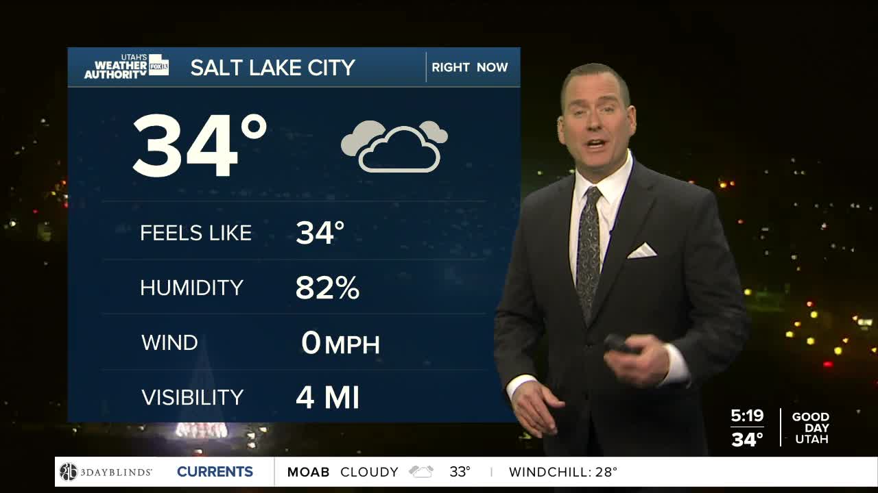
SALT LAKE CITY
New Year's Day: Rain. Highs: Mid to Upper 40s.
Thursday Night: Rain. Lows: Near 40.
Friday: Mostly cloudy with rain likely in the morning, then tapering off in the afternoon. Highs: Near 50.
ST. GEORGE
New Year's Day: Rain likely. Highs: Low 50s.
Thursday Night: Rain in the evening, then tapering off overnight. Lows: Mid 40s.
Friday: Partly cloudy. Highs: Mid 50s.
