
Happy weekend, Utah! It’s a mild start in northern Utah, where highs will run nearly 10 degrees above average this afternoon. Southern Utah, on the other hand, stays in an active weather pattern with more showers and thunderstorms expected.
Some storms could bring heavy downpours, so flash flooding remains possible in all recreational areas this afternoon and evening.
A low-pressure system parked over the Desert Southwest continues to push moisture into the state, keeping showers around through the weekend. Northern Utah will see increasing moisture tonight into Sunday, with scattered showers and storms possible statewide.
Temperatures along northern Utah will cool closer to seasonal averages Sunday and stay there into the work week.
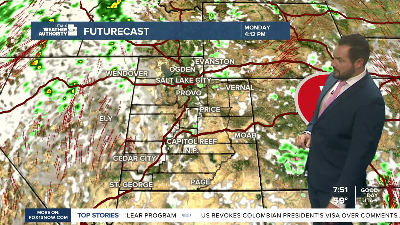
Looking ahead, southern Utah should dry out after Sunday’s storms, while northern Utah hangs on to a slight chance Monday, more showers Tuesday, and then another stronger storm system on Friday.
Early forecasts suggest Friday’s system could drop temperatures roughly 10 degrees below average heading into next weekend. Stay tuned.
