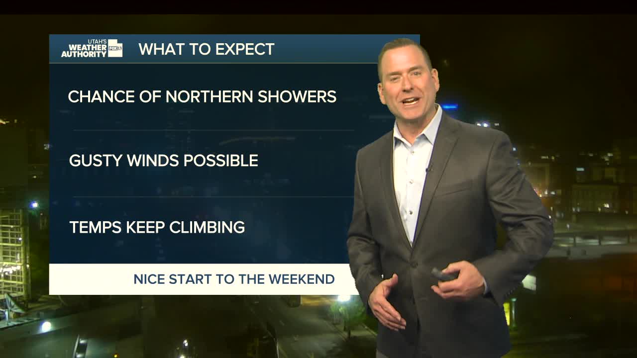


April showers are moving back into Utah! There's just a slight chance across most of the north today. They're most likely over the mountains and near the Idaho border.
It'll stay dry in the south, but showers are even more likely in the north tomorrow along with a slight chance of thunderstorms. Even so, it's going to stay warm with temps in the low to mid 70s along the Wasatch Front for the rest of the week.
It's going to dry out on Friday & Saturday. Cooler, wet weather will move in by Sunday & Monday.
SALT LAKE CITY
Wednesday: Mostly cloudy with a 20% chance of showers. Highs: Low 70s.
Wednesday Night: Mostly cloudy with a 40% chance of showers, mainly before midnight. Lows: Near 50.
ST. GEORGE
Wednesday: Partly cloudy. Highs: Mid 80s.
Wednesday Night: Partly cloudy. SW winds 10-20 mph in the evening. Lows: Lower 50s.
