

The storm that hammered California with heavy rain over the weekend is making it's way onshore and will move across the Desert SW the next few days.
Scattered showers will increase across Southern UT today with valley rain & mountain snow becoming widespread as the storm moves by to the south. At first, snow levels will be around 8,000 feet and then will drop down to about 6,500 - 7,000 ft. by tomorrow morning. 6-12 inches are possible above 8,000 ft, with 2-6 inches possible down to about 7,000 ft. Be prepared for winter driving conditions in the southern mountains!
Showers will move north into Central Utah in the afternoon and then across the north this evening. But the farther north you are, the lighter the precipitation will be.
Rain & snow will linger through Thursday, but gradually decrease as the storm weakens and pulls away.
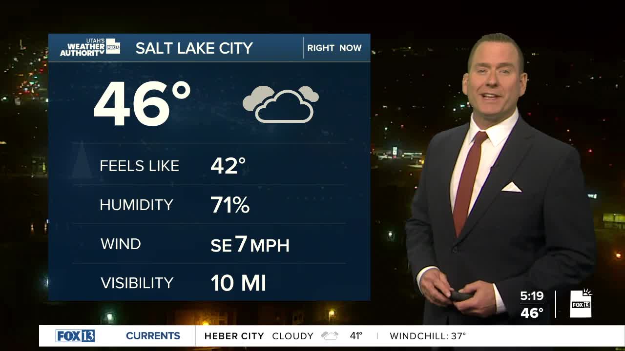
SALT LAKE CITY
Tuesday: Partly cloudy. Highs: Mid 50s.
Tuesday Night: Mostly cloudy with a 30% chance of rain after midnight. Lows: Near 40.
ST. GEORGE
Tuesday: Rainy & cooler. Highs: Mid 50s.
Tuesday Night: Rain along with a slight chance of showers & t-storms in the evening. Lows: Upper 40s.
