

It still feels like early spring! High pressure will keep it sunny & mild with temps climbing about 15 degrees above average through the weekend.
Inversions will continue across the north, but with a higher sun angle this time of year and a lack of cold air, they should be fairly weak. That being said, valley haze will linger with moderate air quality the next few days.
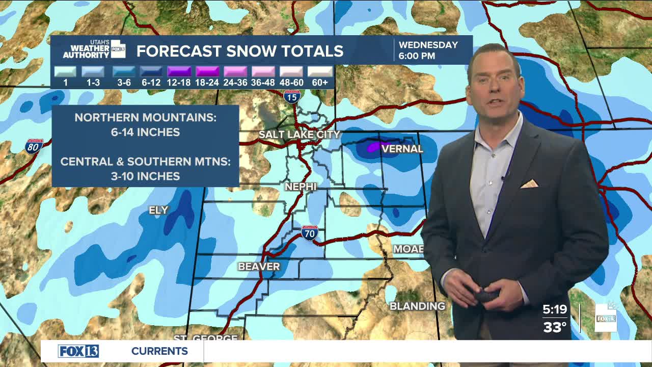
A storm moving in early next week will finally bring valley rain & mountain snow to most of Utah! There's still a lot of uncertainty as to how much might pile up, but in general 6 to 12 inches will possible in the northern mountains with lighter amounts farther south. Snow might mix with rain in the valleys at times, but valley snow is uncertain.
A cool, active weather pattern continues through the rest of next week.
SALT LAKE CITY
Thursday: Sunny. Highs: Mid 50s.
Thursday Night: Mostly clear. Lows: Mid 30s.
ST. GEORGE
Thursday: Sunny. Highs: Near 70.
Thursday Night: Mostly clear. Lows: Lower 40s.
