

The last weekend of summer is going to be off to soggy start for some of you!
As moisture moves in, showers & t-storms will develop over Central & Southern Utah today. At first, some of the storms could be dry and bring gusty winds. Rain will become more likely later in the day, especially starting mid-afternoon. Stronger storms could bring heavy rain and lead to isolated flash flooding.
Tomorrow it's going to dry out in the south, with showers & t-storms becoming more likely across the north. Wet weather will linger into Sunday, but will be decreasing with most of the action over the mountains by the afternoon.
In spite of the wet weather, it's going to stay mild with temps hovering near 80 along the Wasatch Front and near 90 in Lower Washington County.
SALT LAKE CITY
Friday: Mostly cloudy. Highs: Low 80s.
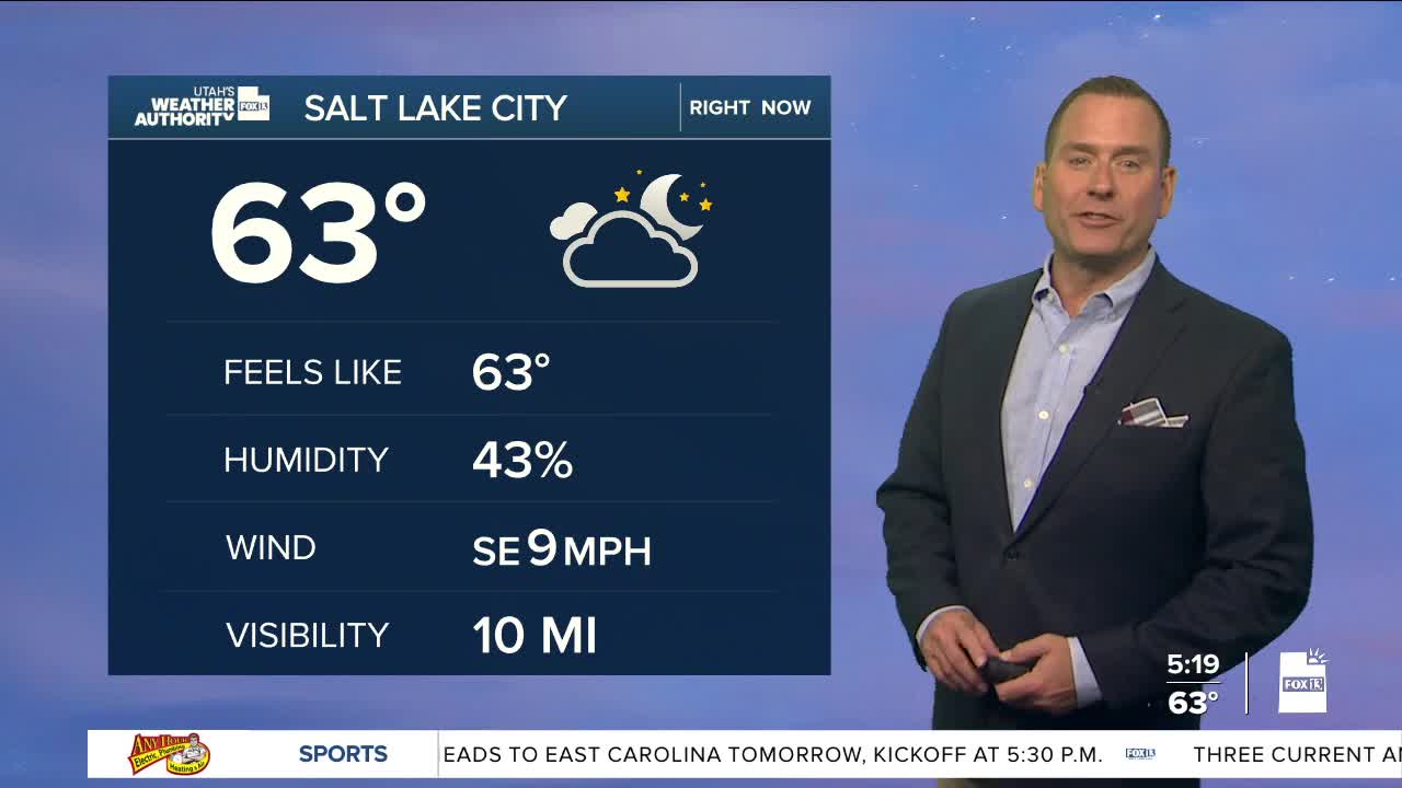
Friday Night: Mostly cloudy with a slight chance of showers after midnight. Lows: Lower 60s.
Saturday: Partly cloudy with a slight chance of morning showers, then a 40% chance of showers & t-storms in the afternoon. Highs: Near 80.
Sunday: Partly cloudy with a slight chance of showers & t-storms. Highs: Near 80.
ST. GEORGE
Friday: Partly sunny with a 30% chance of showers & t-storms. Highs: Near 90.
Friday Night: Clearing off with decreasing showers. Lows: Mid 60s.
Saturday: Sunny. Highs: Near 90.
Sunday: Sunny. Highs: Near 90.
