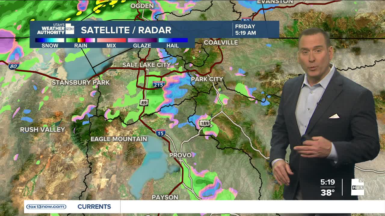


The first Friday of the year has been off to a stormy start, but it won't end that way!
Valley rain, mountain snow, & fog across the north will decrease by mid to late morning. Another 3-6 inches of snow are possible in the northern mountains by late morning, with up to 3 inches over the higher terrain of central Utah. Most accumulation will be above 7,000 ft.
Even though light snow showers could linger over the mountains into the afternoon, most of Utah will dry out. We'll get a break before the next storm brings more wet weather by Sunday. The next storm will be a little colder with snow levels expected to drop down to about 6,500 feet.
SALT LAKE CITY
Friday: Cloudy & rainy in the morning, then partly cloudy this afternoon. Highs: Upper 40s.
Friday Night: Partly cloudy in the evening, then becoming overcast overnight. Lows: Upper 30s.
Saturday: Mostly cloudy. Highs: Low 50s.
Sunday: Rain likely. Highs: Low 50s.
ST. GEORGE
Friday: Partly cloudy. Highs: Mid 50s.
Friday Night: Partly cloudy. Lows: Near 40.
Saturday: Mostly cloudy. Highs: Upper 50s.
Sunday: Mostly cloudy with a slight chance of rain. Highs: Upper 50s.
