
SALT LAKE CITY — After the mountains had their hit of winter snow during the first of multiple storms this week, it's time for Utah valleys to get in on the action, as another storm will bring greater snowfall amounts to a large part of the state.
TRACK THE STORMS: Get real-time storm information by downloading the FREE Utah Weather Authority app
A "significant" amount of snow is forecast to fall in valleys above 4,000 feet starting late Tuesday and into early Wednesday morning, according to the National Weather Service.
Those living in valleys along the Wasatch Front are expected to see the first real snowfall of the season, with 1-4 inches forecast for the valley floor, and 4-8 inches on the benches. The snow will be heaviest between 3 and 5 a.m. Wednesday, before moving to showers in the afternoon.
Other valleys across Utah are also forecast to receive considerable snow:
- Cache Valley: 2-6 inches
- Southwestern Utah: 2-6"
- Bryce Canyon: 6-12"
- Zion National Park/Upper Sevier Valleys/Grand Staircase: 1-4"
The mountains will also receive another blast of snow with the new storm. The northern mountains are expected to receive 1-2 feet, with a chance of 3 feet of snow in the upper Cottonwood canyons. The southern and central mountains can expect anywhere from 8 to 18 inches of snow.
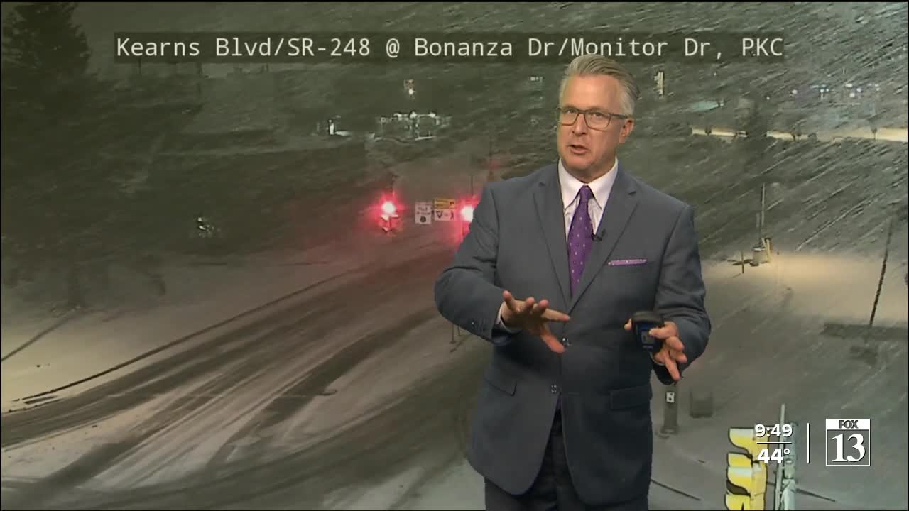
Wasatch Back locations will receive 6-12 inches of snow, and possibly up to 20 inches in the Park City area.
Gusty winds that blew across Utah on Monday and Tuesday will remain, with winds up to 55 miles per hour expected in the western valleys.
The Winter Storm Warning issued for the Wasatch Back and Wasatch Mountains, including areas such as Park City, Heber City, Alta and Huntsville continues through 5 a.m. Thursday. The Warning in effect for the southern mountains, including Alton and Brian Head, will remain in place until 5 p.m. Wednesday.
The Utah Department of Transportation wants drivers to remember to decrease their speed during the storms and let plow drivers do what they’ve been waiting to do this entire winter.
“[Plow drivers have] been able to fill their time doing a lot of other maintenance activities: crack sealing, keeping the water out of the pavement, filling potholes, picking up litter, trimming vegetation, but this is what we do, we plow roads, and they’re excited to get back to that," said UDOT spokesperson John Gleason.

The latest storm is forecast to create dangerous avalanche conditions in the mountains, with the Utah Avalanche Center saying large natural and human-triggered avalanches are likely.
"The incoming storm will overload widespread fragile layers of weak, faceted snow that formed during the mid-winter dry spell. This setup is well known for producing dangerous, unpredictable avalanches that can be triggered remotely and break much wider and larger than expected," the center wrote.
“Look, we’ve all been powder-starved, and I’m part of that program, too. But what I do know is that these are very tricky avalanche conditions. You’ll be able to trigger avalanches from a distance from low on the slopes, and that’s unusual for us this time of year," explained Craig Gordon with the Utah Avalanche Center.
All areas of the state will start to dry out by Friday and into the weekend.
