

With a stagnant weather pattern in place, inversions will continue across Northern Utah & SW Wyomng.
Cold air trapped in valleys by a layer of warmer air above will allow pollution to continue to build, leading to poor air quality and an increase in valley haze & smog. This is most likely along the Wasatch Front.
Fog has also been an issue, as has been the case in Eastern Box Elder County again this morning. Even after fog thins out, haze & smog will stick around. As always, cutting back on driving and not idling the car are two practical things you can do to help out until things change.
A storm dropping south across the plains on Friday might help us out. Even though it won't make a direct hit, colder air moving in along with upper level winds could weaken inversions and bring at least some improvement in air quality.
Otherwise, inversions will likely continue much of next week.
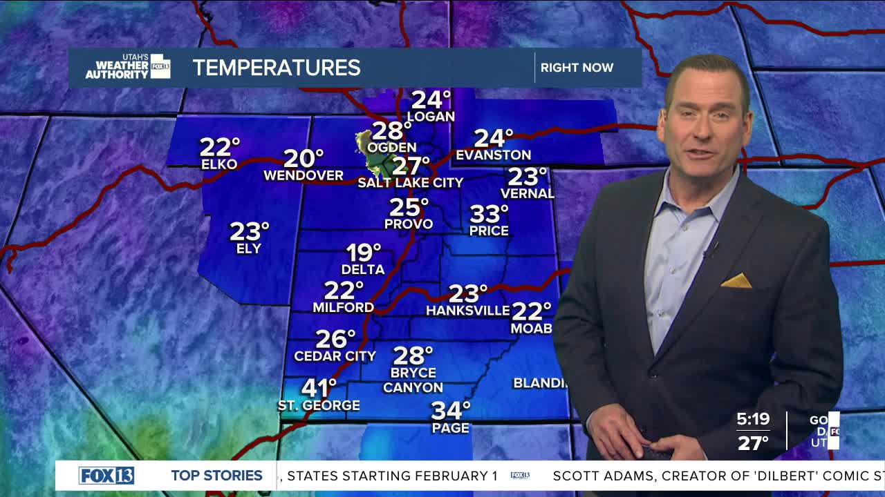
SALT LAKE CITY
Wednesday: Hazy sunshine. Highs: Low 40s.
Wednesday Night: Mostly clear & hazy. Lows: Mid 20s.
ST. GEORGE
Wednesday: Sunny & mild. Highs: Mid 60s.
Wednesday Night: Clear & cold. Lows: Mid 30s.
