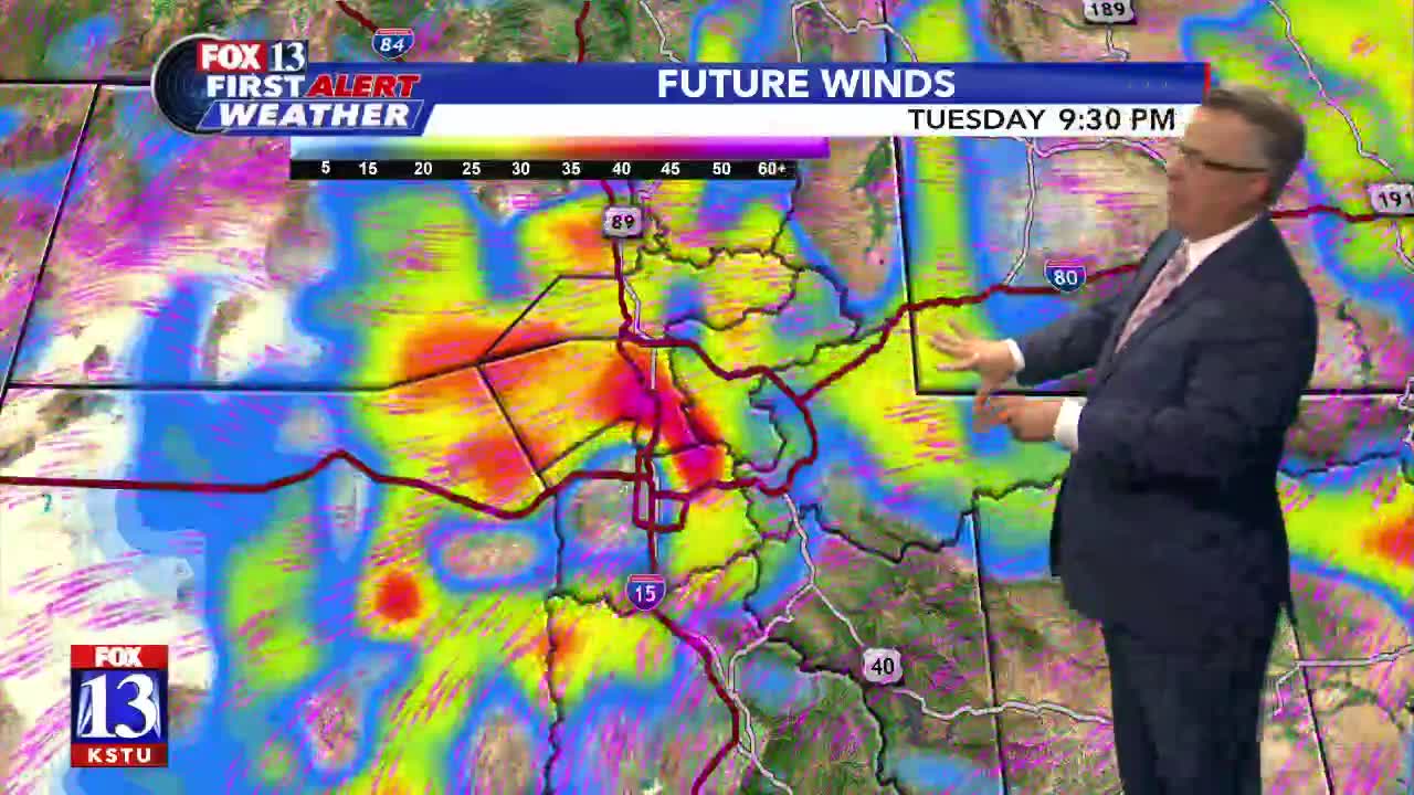


A strong cold front moved south across the state overnight and ushered in fall-like weather. Temperatures will be as much as 30 degrees lower than yesterday. Strong winds will be widespread across the state today. Some of the highest gusts will be along the Northern Wasatch Front, especially near the canyons. Rain showers are most likely in the north in the morning, with accumulating snow possible in the Northern Mountains and SW Wyoming. Strong winds will continue in Utah's Dixie, Cache Valley, Salt Lake & Tooele Valleys, and the Northern Wasatch Front through tomorrow morning.
SALT LAKE CITY
Tuesday Night
Partly cloudy. NE winds 25-35 mph. Near the canyons, winds will become easterly at about 30-40 mph and could gust above 60 mph. Lows: Near 40.
ST. GEORGE
Tuesday Night
Mostly clear. Near canyons, north winds 25 to 35 mph with gusts in excess of 60 mph. Lows: Near 50.
