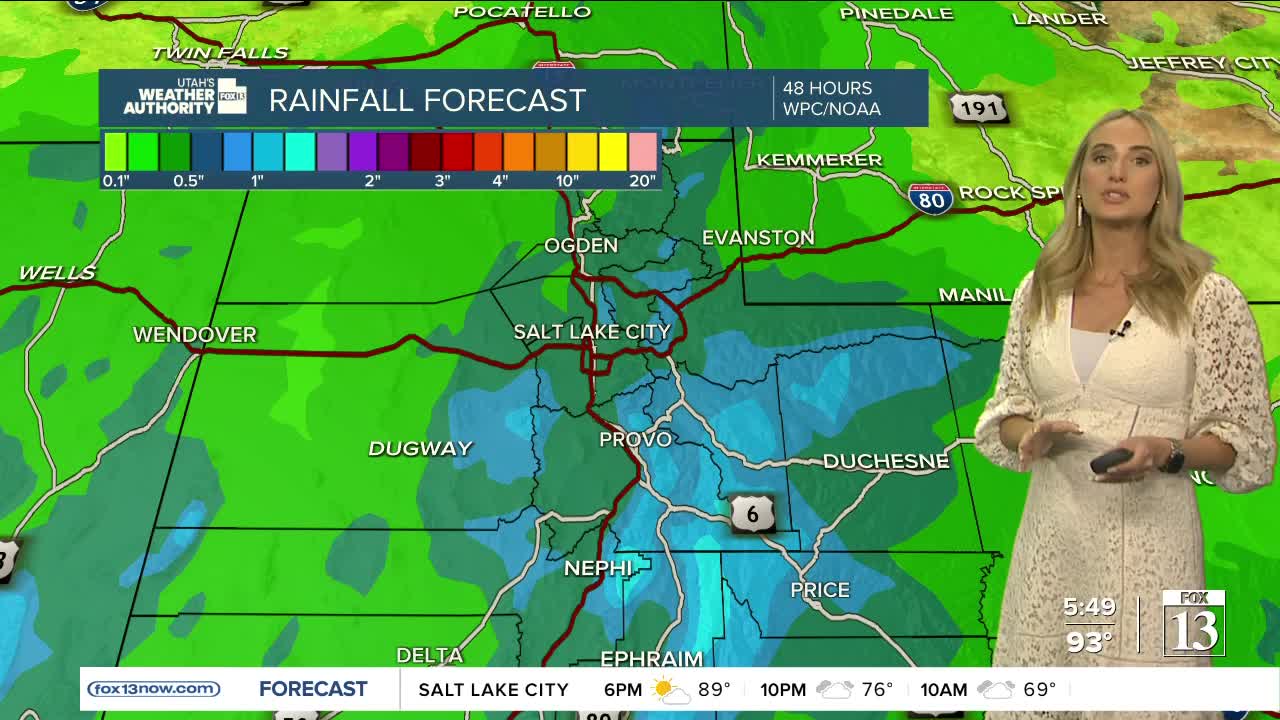
We have one more dry, warm day with patchy smoke before big changes in the beehive state!
Northern Utah will see hazy sunshine this afternoon climbing into the low to mid-90s across the Wasatch Front.
The focus for showers and thunderstorms will be in Southern Utah this afternoon. By Tuesday, it turns cooler and wetter, as we tap into moisture from former Hurricane Kay.
This brings showers and thunderstorms to all of Utah. The smoke will also scour out of here! With widespread rain, It'll be soggy at times. Flash flooding is probable at all of our parks and recreation areas Tuesday.
The rain sticks around for most of the work week. It'll be rainy Wednesday and Thursday as we see a big drop in temperatures.
We only climb to the mid to upper 70s across the Wasatch Front, feeling more like fall!


