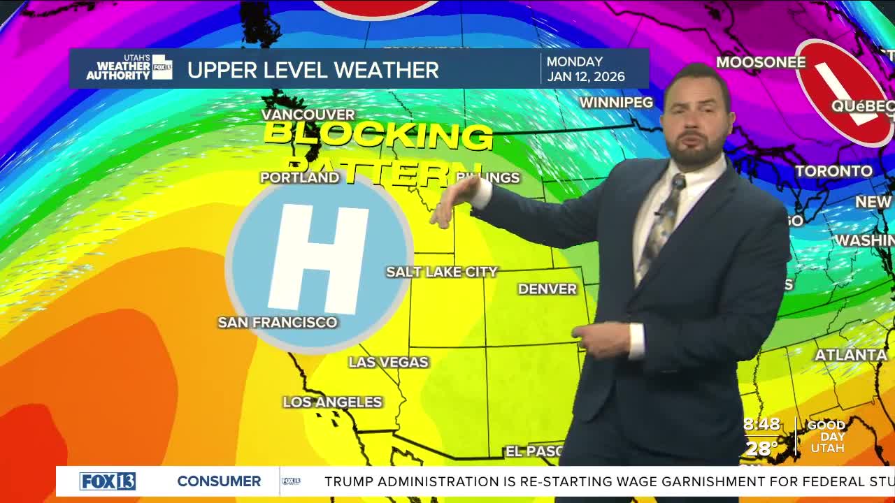

High pressure building over the region is trapping moisture near the surface, leading to low clouds and stagnant air across the Wasatch Front and surrounding valleys. With little wind or atmospheric mixing, inversion conditions will strengthen through the weekend.

Valley haze will increase, along with the risk for fog and freezing fog—especially in areas with existing snow cover. We could see reduced visibility and slick travel in some areas, mainly during the morning hours.
Looking ahead, a storm system tracking along the eastern Rockies late Thursday into Friday might help bring some relief to valley Inversions. Stronger winds aloft and a northerly flow will hopefully help mix out some of the trapped air. Stay tuned.


