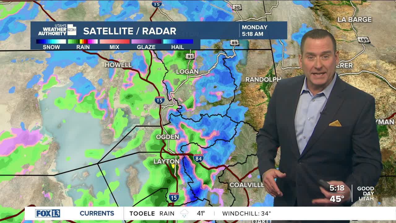


Another "warm" storm caught up in a southwesterly flow will bring rain and snow to the Salt Lake Valley on Monday.
The brunt of the precipitation will be across the north. Storm totals of 8-18 inches are possible in the northern mountains, mainly above 7,500 ft., with higher amounts possible above 8,000 ft.
The Wasatch Plateau and southern mountains could pick up 4-8 inches, although, it's a fast-moving storm, so amounts might trend lower as snow showers taper off this afternoon.
A colder storm arriving late Wednesday and Thursday will finally bring a good chance of widespread snow to the valley floors and possibly significant snow to the mountains.
Details are still unclear, but it will finally start to look and feel more like winter!
SALT LAKE CITY
Monday: Mostly cloudy with rain showers most likely in the morning. Highs: Upper 40s.
Monday Night: Partly cloudy. Lows: Mid 30s.
ST. GEORGE
Monday: Partly cloudy with a slight chance of rain showers in the morning. Highs: Mid 50s.
Monday Night: Becoming mostly cloudy. Lows: Upper 30s.
