

A warm winter storm is moving in!
Moisture from a decaying atmospheric river will stream into Northern Utah today and tomorrow, bringing widespread valley rain & high elevation mountain snow.
Most precipitation will be north of Interstate 70. While a few showers will develop in the morning, rain & snow will become more likely in the afternoon and could impact the evening commute. Some of the heavier precipitation could be overnight & early Wednesday morning. So, give yourself extra time for the morning drive tomorrow too!
Snow levels will start out around 6,500 ft. but will mainly be above 8,000 ft. with the heaviest accumulation of 6-16 inches above 9,000 ft. The Cottonwoods & Bear River Range could see over 18 inches by Wednesday evening. Valley rain totals could range from .25" to 1.00".
It's going to dry out Thursday & warm up even more heading into the weekend! Another round of wet weather is on tap for early next week.
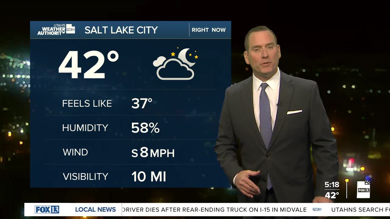
SALT LAKE CITY
Tuesday: Mostly cloudy with a chance of morning showers, then rain likely in the afternoon. Highs: Mid 50s.
Tuesday Night: Rainy & mild with a slight chance of t-storms after midnight. Lows: Mid 40s.
ST. GEORGE
Tuesday: Sunny. Highs: Near 70.
Tuesday Night: Mostly clear. Lows: Mid 40s.
