

After a wet start to the week, we've got a sunny, warm day to enjoy! In fact, southwest winds ahead of the next storm will help temps climb about 10 degrees above average.
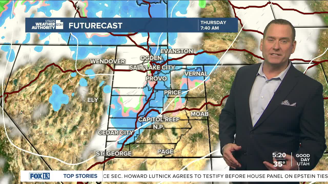
Take advantage of it, big changes are expected tomorrow as a cold storm drops in from the Pacific NW. Valley rain & mountain snow will fill in overnight and make for a wet morning commute on Thursday. A cold front will slide south across the state with a good chance of heavy snow along the front. One thing that might work in our favor is that the ground will already be warm, so lower elevation roads might just be wet with slushy conditions a lot more likely up the canyons and over higher passes.
After a lull during the day Thursday, more rain & snow will fill in Thursday night into Friday morning. That might bring a better chance of light snow in the valleys, especially if any lake effect develops south of the Great Salt Lake.
By the time things wind down Friday evening, there could be up to foot of snow in the Northern Mountains and up to 20 inches in the Cottonwoods.
SALT LAKE CITY:
Wednesday: Mostly sunny & warmer! South winds 10-20 mph. Highs: Near 60.
Wednesday Night: Slight chance of rain in the evening, then rain & snow likely after midnight. Lows: Mid 30s.
ST. GEORGE:
Wednesday: Sunny. Highs: Lower 70s.
Wednesday Night: Cloudy in the evening, then clearing overnight. Lows: Mid 40s.
