After a chilly start, it's going to be sunny and warmer. A beautiful October day!
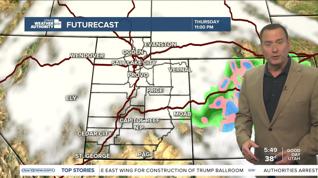
The next storm will move in from the south and bring scattered showers and thunderstorms to central and southern Utah from Wednesday evening into Thursday evening.
Storms have the potential to bring moderate to heavy rain, so isolated areas of flash flooding are possible. A few showers could drift over the higher terrain of the north on Thursday, but most will taper off as the storm drifts east into Colorado by late in the day.
A southerly flow will keep temperatures warm for this time of year on Friday and Saturday. A colder storm will move in late Saturday, bringing valley rain and mountain snow to the north by Sunday.
SALT LAKE CITY
Tuesday: Sunny and warmer. Highs: Low 60s.
Tuesday Night: Mostly clear. Lows: Low 40s.
ST. GEORGE
Tuesday: Sunny. Highs: Near 80.
Tuesday Night: Mostly clear. Lows: Mid 50s.


