

After a sunny start across most of Utah, clouds will increase ahead of an approaching storm over the Desert Southwest. Temperatures will climb about 5 degrees higher than Tuesday, so it will be a nice warm-up for Wednesday.
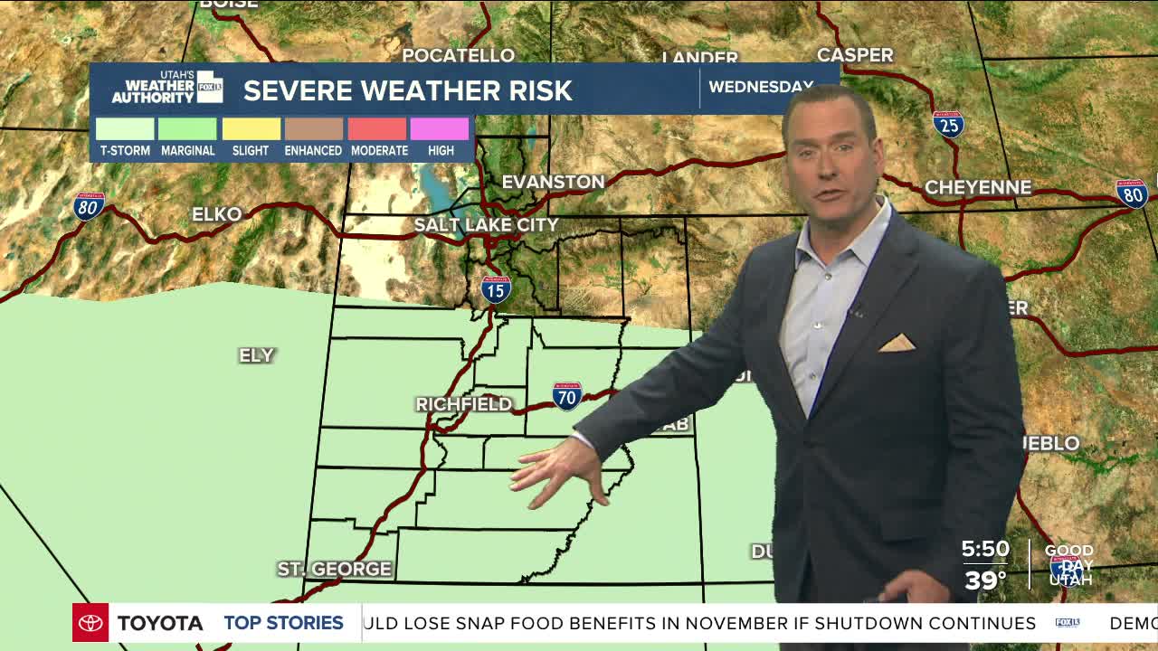
Rain showers will pop up in southwest Utah in the morning and afternoon, but scattered showers and isolated thunderstorms will most likely be seen across central and southern Utah from Wednesday evening through Thursday evening.
While not likely, moderate to heavy precipitation could develop and lead to a threat of isolated flash flooding.
High pressure will build in by the end of the week, with sunny, warm weather expected heading into the weekend. A colder storm will move into the north Saturday night and bring colder, wet weather Sunday and Monday.
SALT LAKE CITY
Wednesday: Sunny in the morning, then becoming partly cloudy in the afternoon. Highs: Mid 60s.
Wednesday Night: Mostly cloudy with a 30% chance of scattered showers after midnight. Lows: Upper 40s.
ST. GEORGE
Wednesday: Becoming partly cloudy. Highs: Low 80s.
Wednesday Night: Isolated showers & t-storms. Lows: Lower 50s.
